
Command of the Heights Trail, Chatham
MedwayCity & CultureHistory & HeritageWalking and Hiking
Key info
 Category
City & Culture
Daily, dawn to dusk
Medway
ME4 4UB
About this attraction
About Command of the Heights Trail, Chatham
The Command of the Heights Trail is a curated walking route through Chatham and the wider Medway area, designed to interpret the network of Victorian-era fortifications that dominated this strategically important region. The trail connects key defensive sites and elevated positions from which the River Medway and its naval facilities could be protected and surveyed. The route provides physical and historical context to understanding why the Medway became one of Britain's most heavily fortified areas during the 19th century.
Visitors can follow the trail on foot to explore multiple forts, view points, and heritage sites whilst learning about the military engineering, historical circumstances, and strategic thinking that shaped these defences. The trail combines accessible public footpaths with interpretive content, making it suitable for a substantial half-day or full-day outing depending on pace and interest. It offers genuine insight into Britain's naval heritage and the defensive infrastructure that supported its maritime power. The trail is an excellent example of heritage interpretation making historical strategy visible and understandable to modern visitors exploring the Medway landscape.
Location
Find Command of the Heights Trail, Chatham on the map
Getting here
Scenic routes that pass nearby
Hop on any of these for a scenic ride to Command of the Heights Trail, Chatham.
- BUSNearest stopChatham Railway Station · 1 min walk
- BUSNearest stopWaterfront Bus Station · 8 min walk
- BUSNearest stopWaterfront Bus Station · 9 min walk
- BUSNearest stopWaterfront Bus Station · 9 min walk
- BUSDurationAbout 1 hour each wayFrequencySee Arriva website for current timetableNearest stopChatham Railway Station · 1 min walk
- BUSNearest stopAnchorage House · 6 min walk
- BUSNearest stopChatham Railway Station · 1 min walk
- BUSNearest stopChatham Railway Station · 1 min walk
- BUSNearest stopAnchorage House · 6 min walk
- BUSNearest stopAnchorage House · 6 min walk
- BUSNearest stopChatham Railway Station · 1 min walk
- BUSNearest stopChatham Railway Station · 1 min walk
- BUSNearest stopAnchorage House · 6 min walk
- BUSNearest stopChatham Railway Station · 1 min walk
- BUSNearest stopWaterfront Bus Station · 8 min walk
- BUSNearest stopWaterfront Bus Station · 8 min walk
- BUSNearest stopChatham Railway Station · 1 min walk
- BUSNearest stopWaterfront Bus Station · 8 min walk
- BUSDurationAbout 1 hour 10 minutesNearest stopChatham Railway Station · 1 min walk
- BUSNearest stopChatham Railway Station · 1 min walk
More to see in Medway
Other attractions nearby
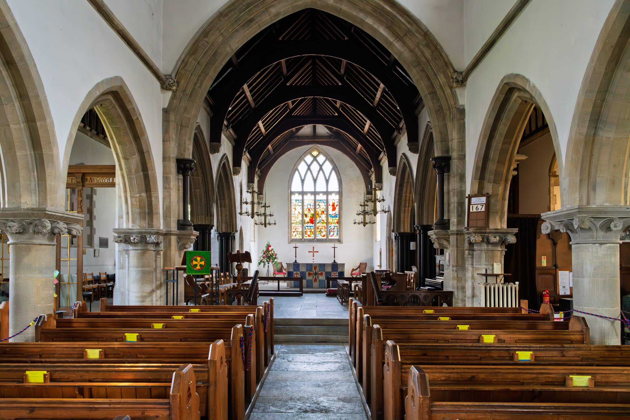
All Saints Church, Perry Street
Medieval parish church on the northern edge of the Medway area.

Cygnet Leisure Centre
Community leisure facility offering swimming, sports courts, and fitness activities.

Northfleet
Industrial riverside town in the Medway with heritage connections to cement production and the Thames.

Tilbury Ferry
River service crossing the Thames between Gravesend and Tilbury, Essex.

Gravesend Borough Market
Traditional market in Gravesend town centre selling fresh produce, flowers, and local goods.
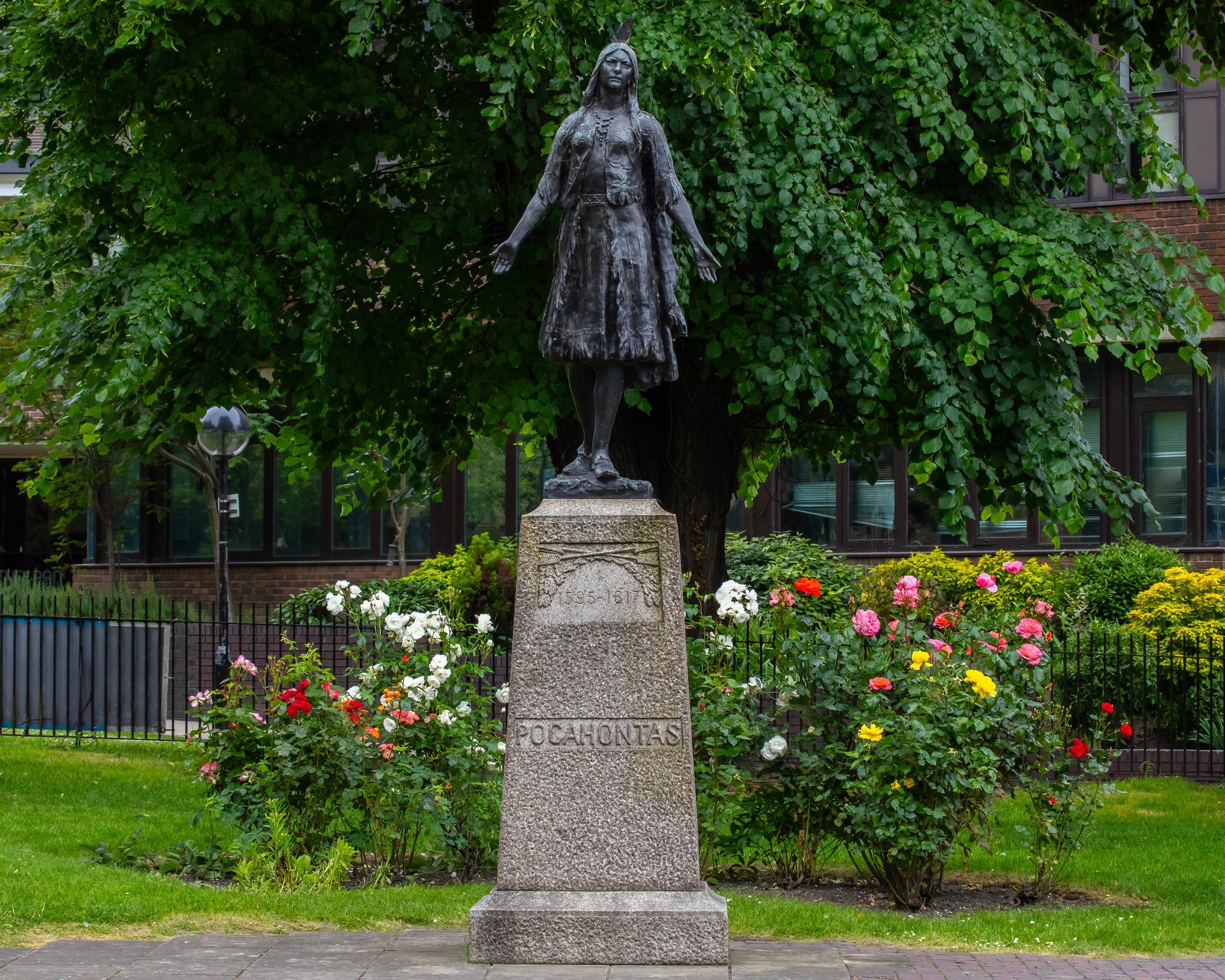
St George's Church and Pocahontas Statue
Medieval church where Pocahontas married John Rolfe in 1614.
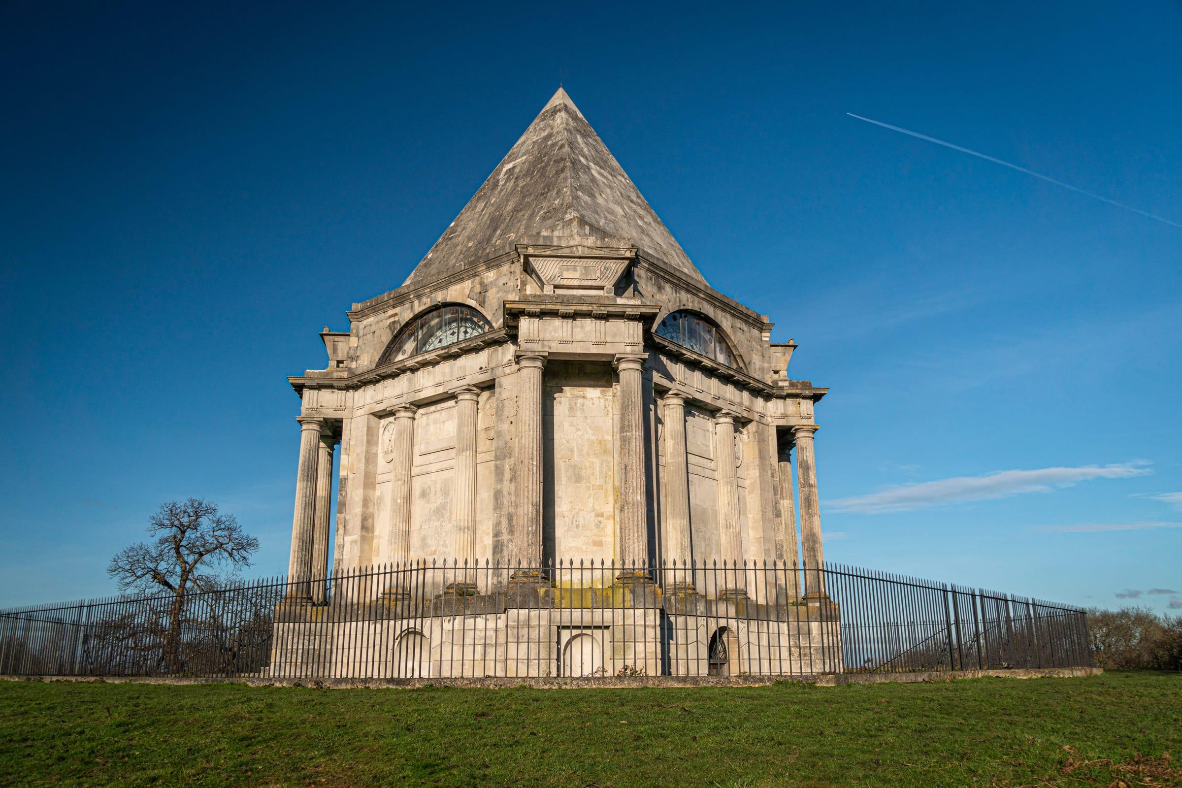
Cobham Park and Darnley Mausoleum
Historic country estate with 16th-century mansion, grounds, and Renaissance mausoleum.
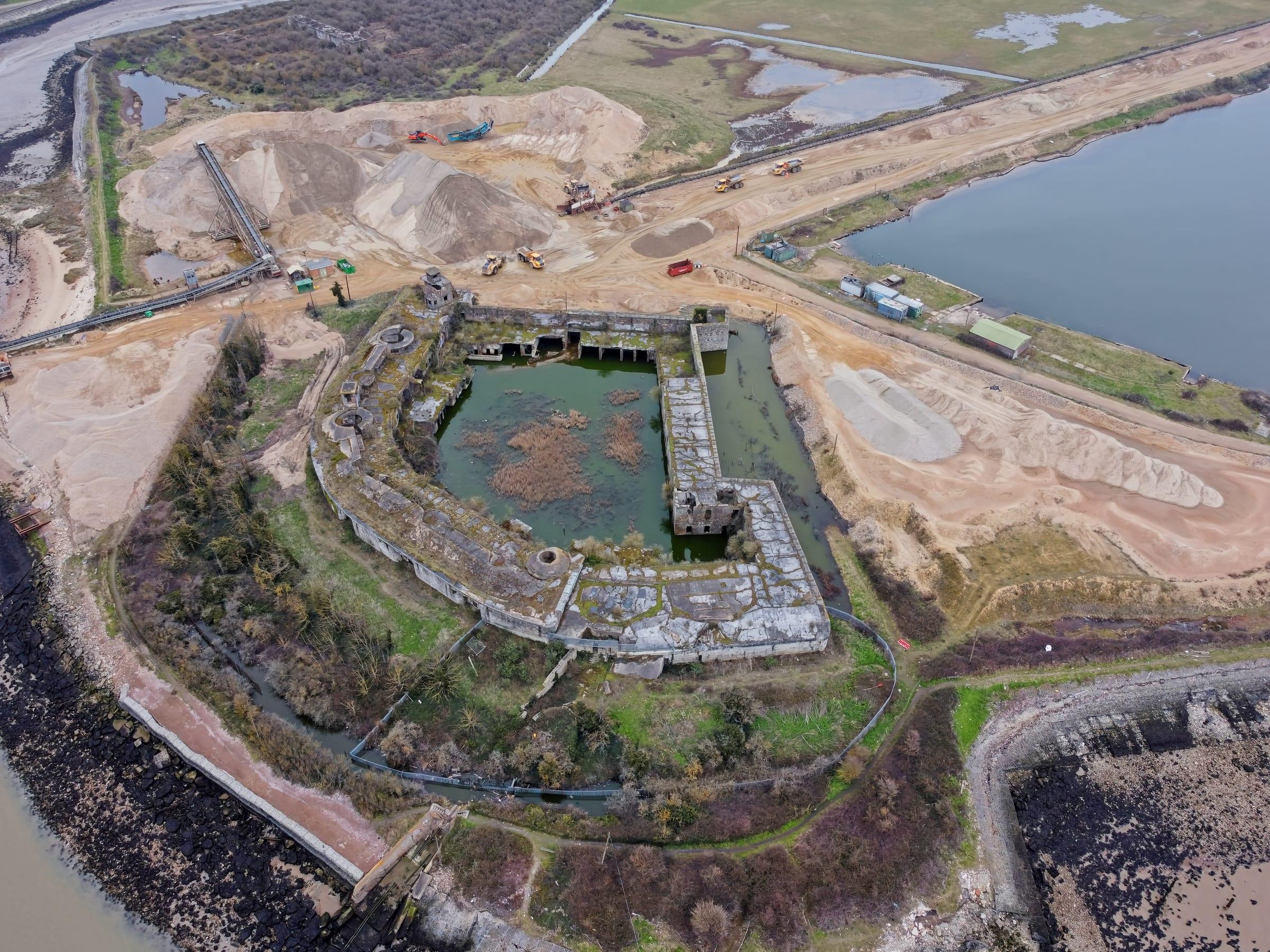
Cliffe Village
Rural riverside village in the Medway, with St Helen's Church and salt marshes.