
Nant Gwynant valley
WalesCountrysideHistory & HeritageLakes and Lochs
Key info
 Category
Countryside
Wales
About this attraction
About Nant Gwynant valley
Nant Gwynant is one of the most spectacular valleys in Snowdonia, a deep glacial trough running south-east from Pen-y-Pass down towards Beddgelert. The road that threads through it, the A498, is widely considered one of the finest scenic drives in Wales, twisting beside two long lakes, Llyn Gwynant and Llyn Dinas, with the Snowdon massif rising sharply to the north and the Moel Siabod ridge to the south.
The valley is a magnet for walkers. The Watkin Path, the longest and arguably most varied route to the summit of Snowdon (Yr Wyddfa), begins at Pont Bethania near the foot of Llyn Gwynant. Lower-level walks circle Llyn Dinas, climb to the Iron Age hillfort of Dinas Emrys (linked in legend with Merlin and the red and white dragons), and follow the Afon Glaslyn down through oak woods to Beddgelert.
Llyn Gwynant is also popular for wild swimming, canoeing and lakeside camping, with a National Trust campsite on its eastern shore. Public transport access is via the Snowdon Sherpa bus network, which links Beddgelert, Pen-y-Pass and Llanberis, making the valley reachable without a car for those wanting to walk one of the great mountain routes of North Wales.
Location
Find Nant Gwynant valley on the map
Getting here
Scenic route that passes nearby
Hop on any of these for a scenic ride to Nant Gwynant valley.
More to see in Wales
Other attractions nearby
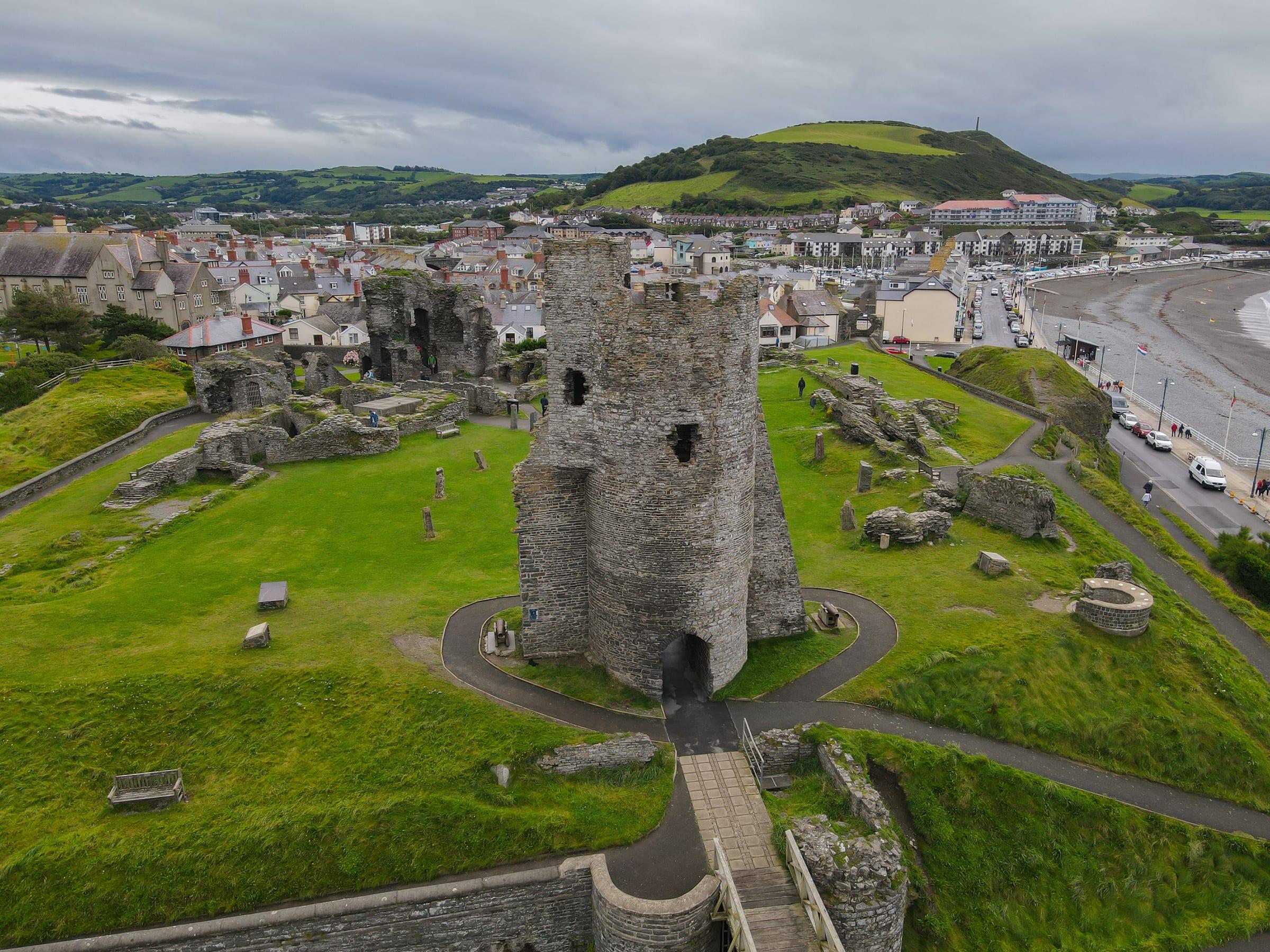
Aberystwyth Castle
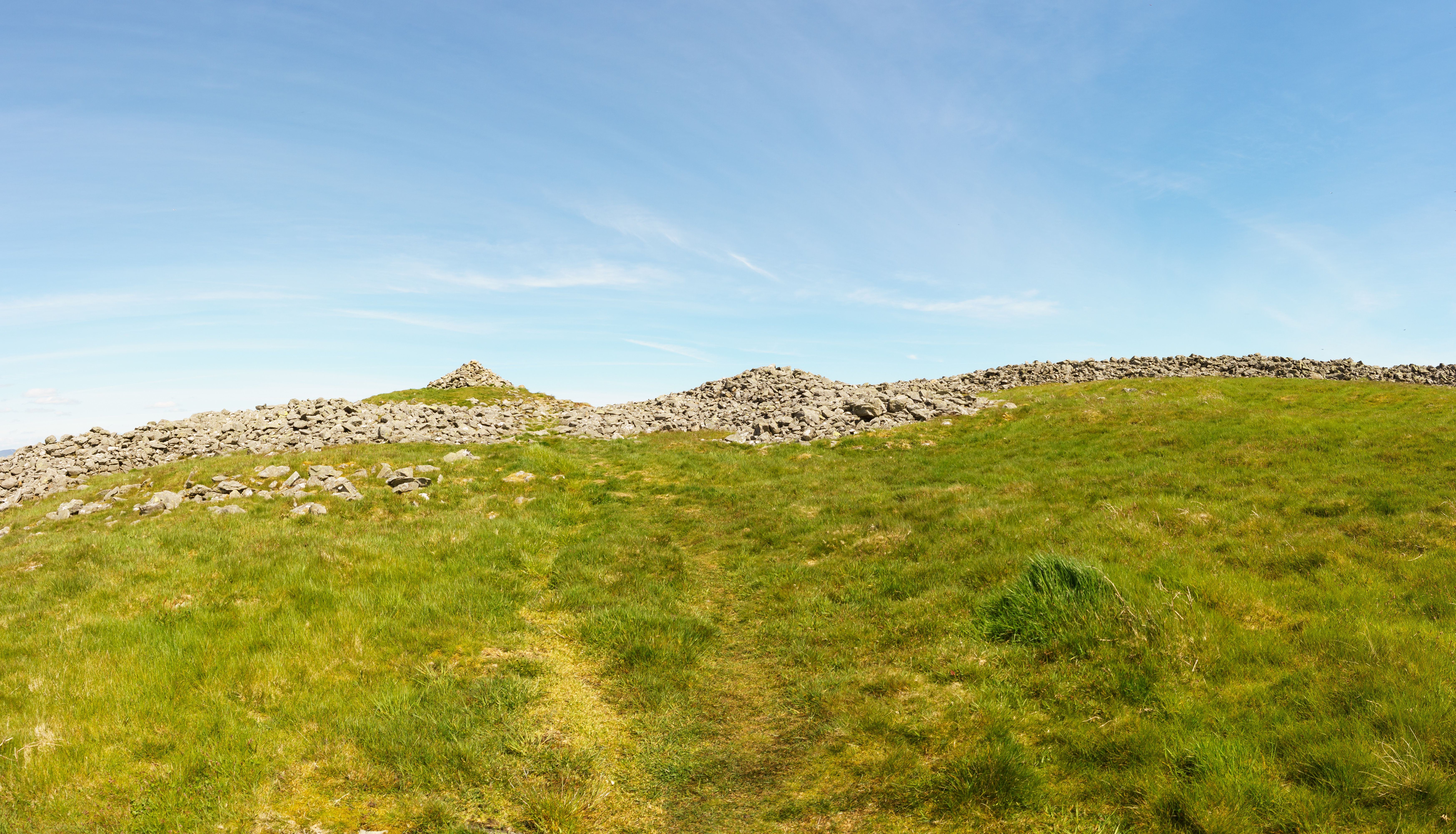
Caer Drewyn Hillfort, Corwen
Iron Age hillfort with visible ramparts overlooking the Dee Valley near Corwen.
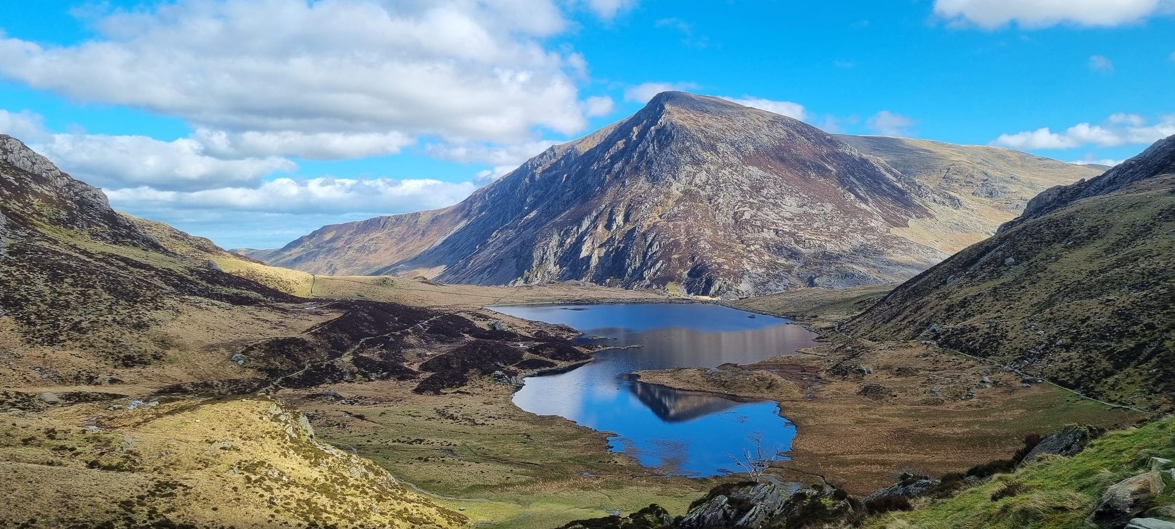
Bailey Hill, Mold
Motte-and-bailey earthwork on a prominent hill overlooking Mold town, built after the Norman conquest.

Theatr Clwyd, Mold
Major theatre producing plays, musicals, and dance in North Wales, with strong reputation for new work.
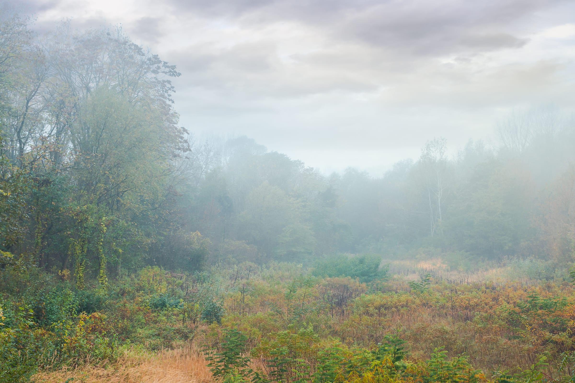
Loggerheads Country Park, near Mold
Woodland park in the Clwydian Hills with walking trails, river, and views across North Wales.
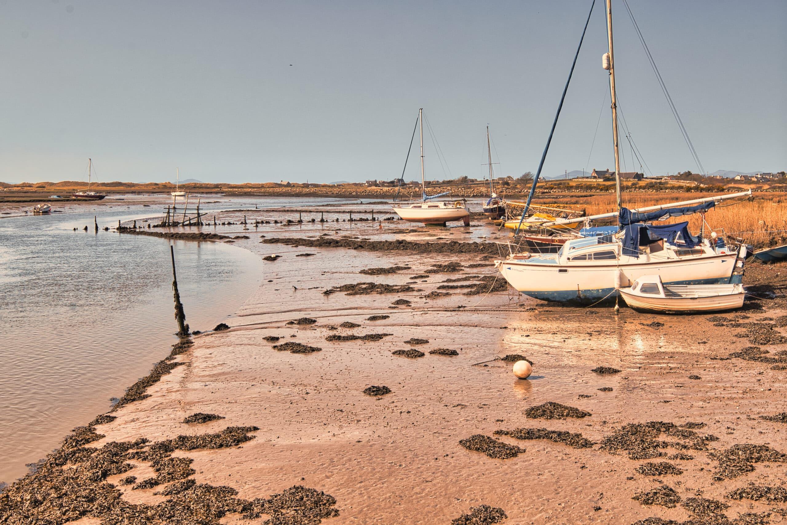
Pensarn Beach
Quiet pebble and sand beach on the north Wales coast at Abergele
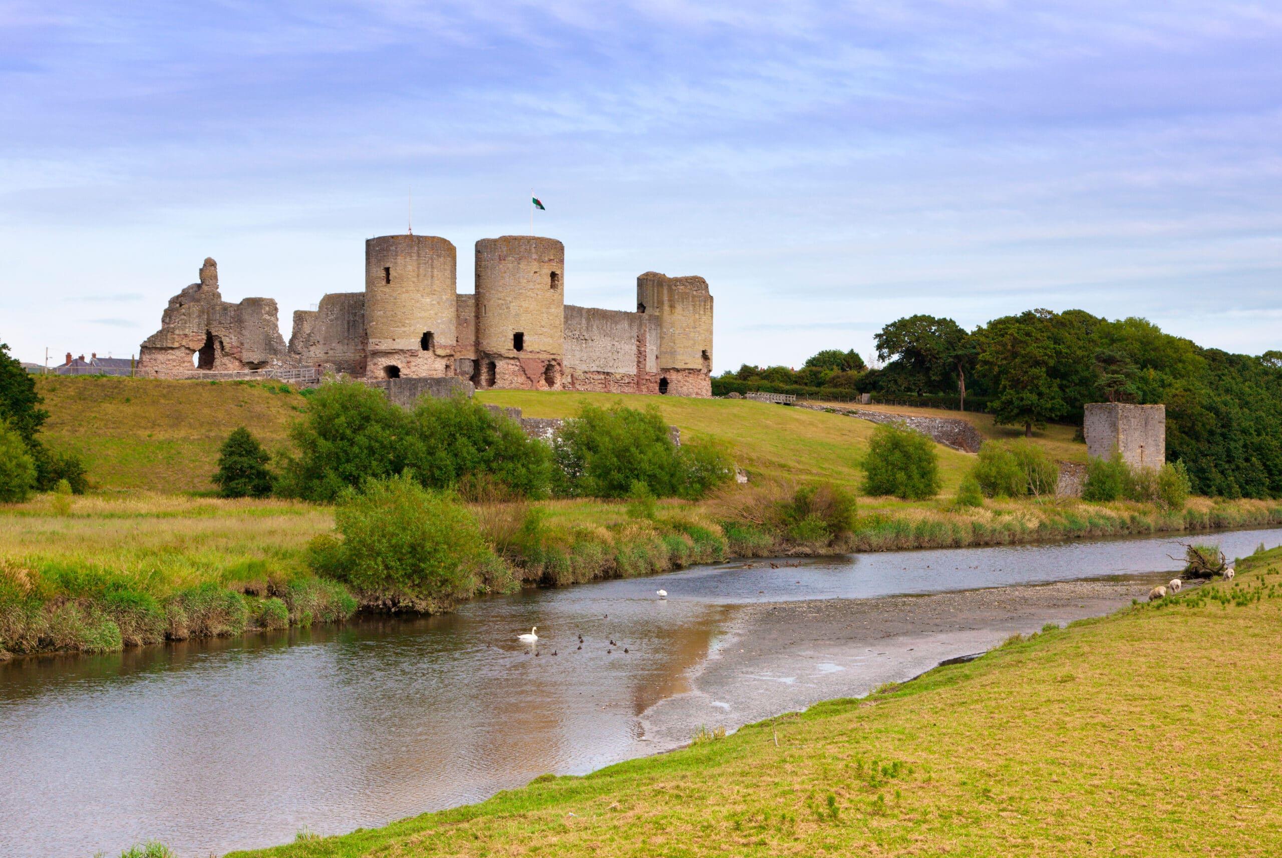
Rhuddlan Castle
Edward I's concentric medieval fortress on the River Clwyd in Denbighshire.
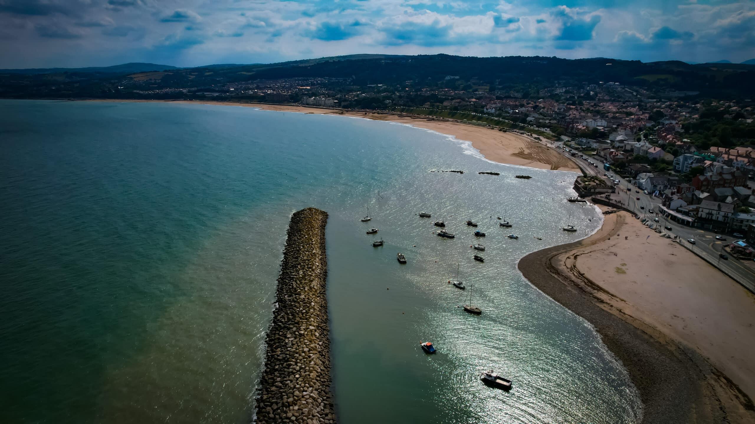
Rhos-on-Sea
Quiet seaside village on the North Wales coast with a sheltered promenade.