
Fort Amherst, Chatham
MedwayHistory & HeritageMajor Landmarks
Key info
 Category
History & Heritage
Medway
ME4 4UG
About this attraction
About Fort Amherst, Chatham
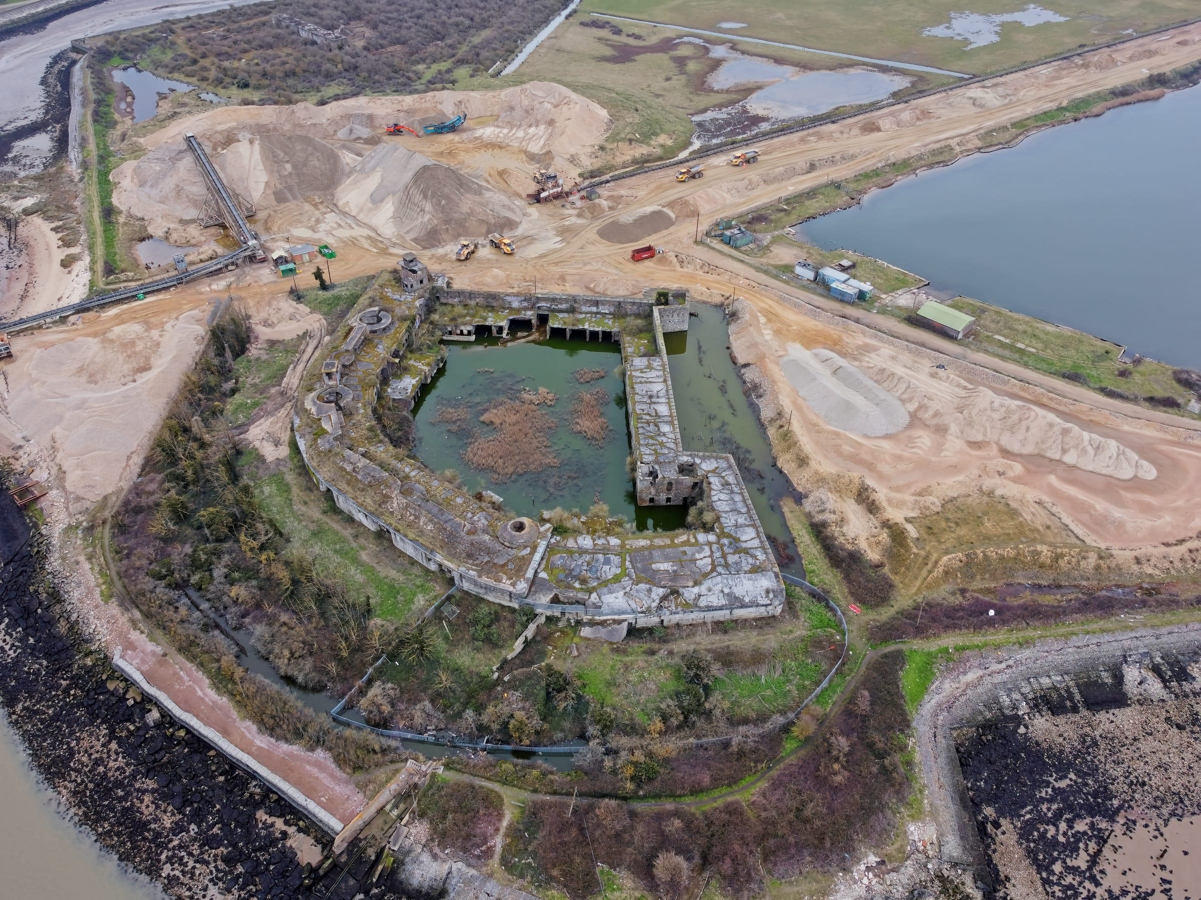
Fort Amherst was constructed in the 1770s as a direct response to the Dutch raid on Chatham in 1667, designed to protect the Royal Dockyard and the river from future attack. The fort's distinctive star-shaped design, characteristic of 18th-century military architecture, occupies a commanding position on the high ground above the Medway estuary. Its thick stone ramparts and extensive network of underground tunnels, which once accommodated barracks, magazines, and supply stores, remain largely intact and atmospheric.
Today the fort operates as a heritage attraction, allowing visitors to explore both the above-ground fortifications and the cavernous subterranean passages. The site offers panoramic views across the Medway valley and towards the Thames estuary, making it both historically significant and visually rewarding. A museum display covers the fort's role in national defence and the broader military history of the area. For those interested in military engineering, industrial heritage, or simply dramatic riverside landscapes, Fort Amherst provides a tangible connection to Britain's naval defence system at a crucial period of imperial expansion.
Location
Find Fort Amherst, Chatham on the map
Getting here
Scenic routes that pass nearby
Hop on any of these for a scenic ride to Fort Amherst, Chatham.
- BUSNearest stopFort Amherst Council Offices · 1 min walk
- BUSNearest stopFort Amherst Council Offices · 1 min walk
- BUSNearest stopFort Amherst Council Offices · 1 min walk
- BUSNearest stopFort Amherst Council Offices · 1 min walk
- BUSNearest stopFort Amherst Council Offices · 1 min walk
- BUSNearest stopWaterfront Bus Station · 4 min walk
- BUSNearest stopFort Amherst Council Offices · 1 min walk
- BUSNearest stopWaterfront Bus Station · 3 min walk
- BUSNearest stopWaterfront Bus Station · 3 min walk
- BUSDurationAbout 1 hour each wayFrequencySee Arriva website for current timetableNearest stopWaterfront Bus Station · 4 min walk
- BUSNearest stopWaterfront Bus Station · 4 min walk
- BUSNearest stopWaterfront Bus Station · 5 min walk
- BUSNearest stopWaterfront Bus Station · 6 min walk
- BUSNearest stopWaterfront Bus Station · 6 min walk
- BUSNearest stopWaterfront Bus Station · 6 min walk
- BUSNearest stopWaterfront Bus Station · 4 min walk
- BUSNearest stopWaterfront Bus Station · 4 min walk
- BUSNearest stopWaterfront Bus Station · 4 min walk
- BUSNearest stopopp Fort Amherst · 1 min walk
- BUSNearest stopWaterfront Bus Station · 4 min walk
- BUSNearest stopWaterfront Bus Station · 4 min walk
- BUSNearest stopWaterfront Bus Station · 4 min walk
- BUSNearest stopWaterfront Bus Station · 4 min walk
- BUSNearest stopFort Amherst Council Offices · 1 min walk
- BUSDurationAbout 1 hour 10 minutesNearest stopWaterfront Bus Station · 4 min walk
- BUSNearest stopWaterfront Bus Station · 5 min walk
- BUSNearest stopFort Amherst Council Offices · 1 min walk
More to see in Medway
Other attractions nearby
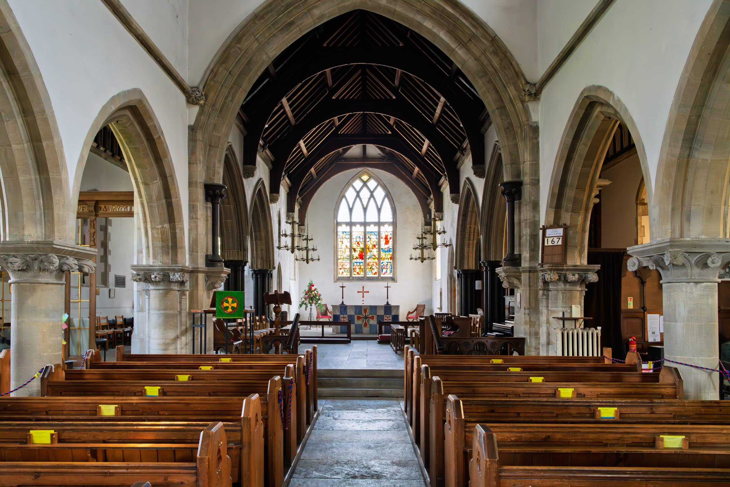
All Saints Church, Perry Street
Medieval parish church on the northern edge of the Medway area.

Cygnet Leisure Centre
Community leisure facility offering swimming, sports courts, and fitness activities.

Northfleet
Industrial riverside town in the Medway with heritage connections to cement production and the Thames.
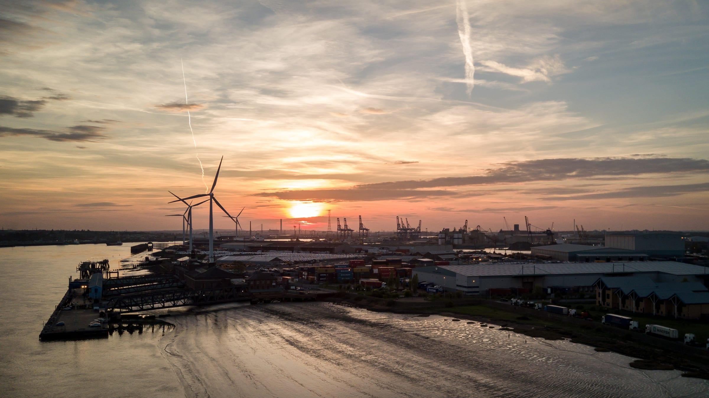
Tilbury Ferry
River service crossing the Thames between Gravesend and Tilbury, Essex.

Gravesend Borough Market
Traditional market in Gravesend town centre selling fresh produce, flowers, and local goods.
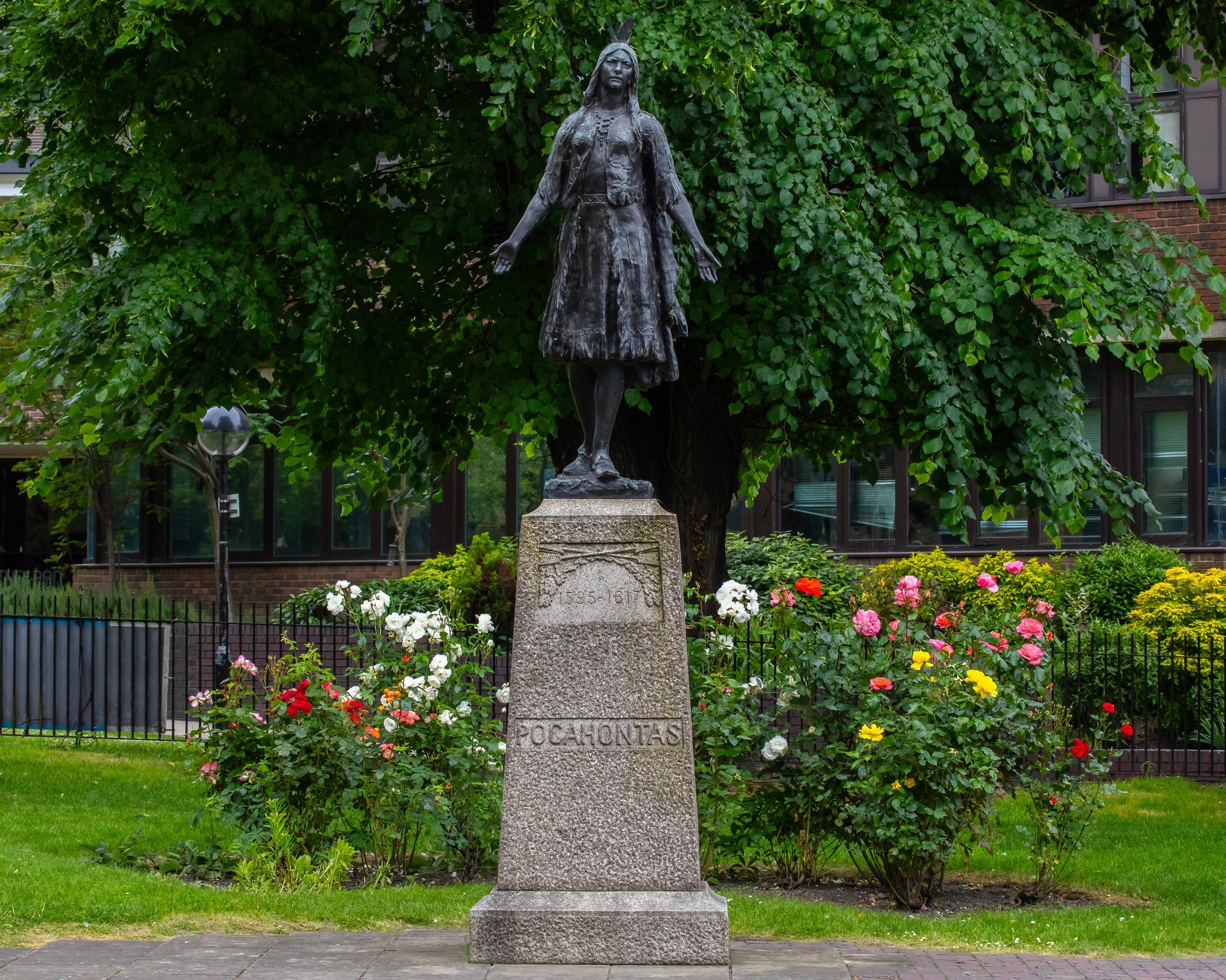
St George's Church and Pocahontas Statue
Medieval church where Pocahontas married John Rolfe in 1614.
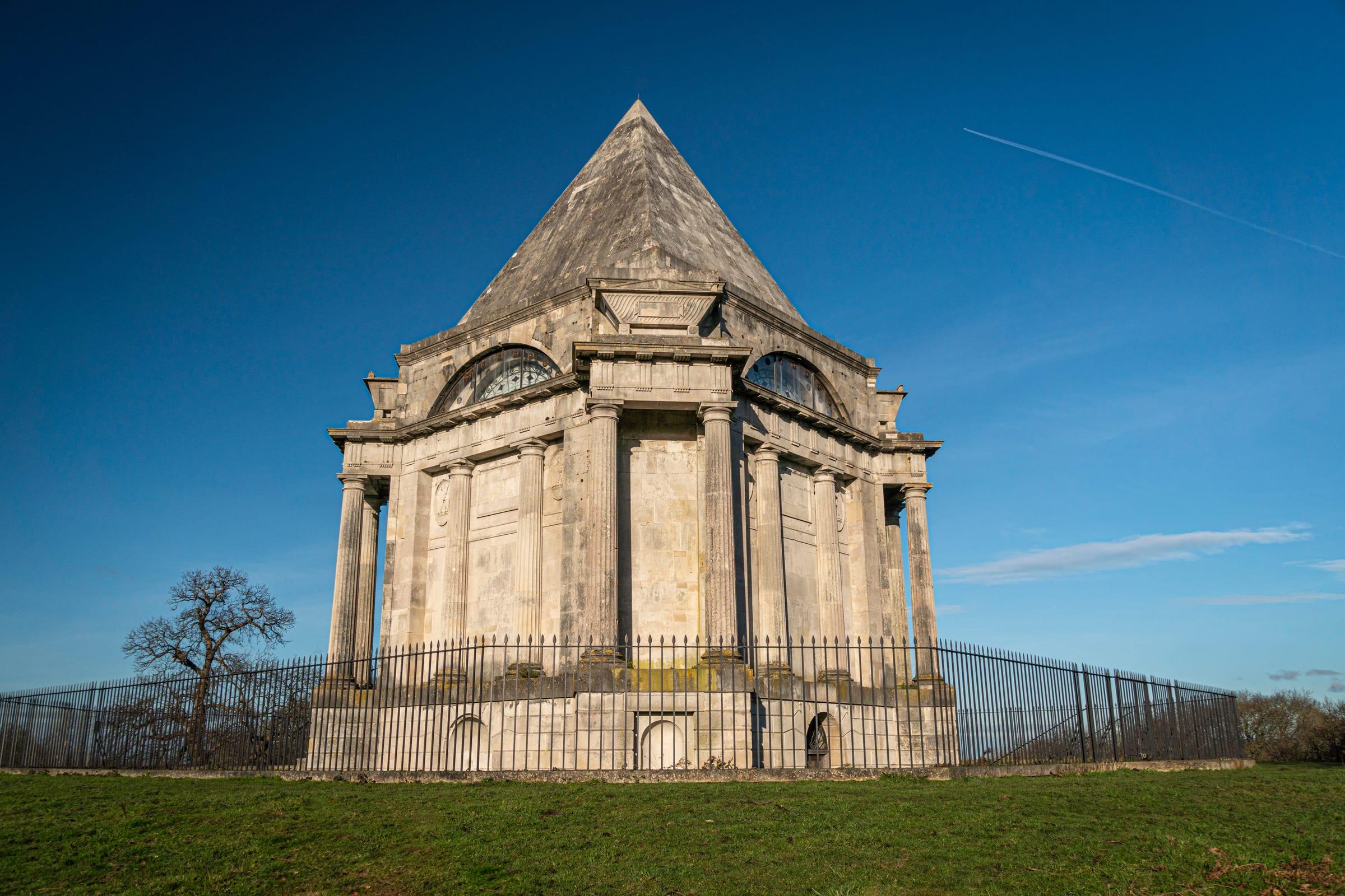
Cobham Park and Darnley Mausoleum
Historic country estate with 16th-century mansion, grounds, and Renaissance mausoleum.
Cliffe Village
Rural riverside village in the Medway, with St Helen's Church and salt marshes.