
River Wyre
LancashireCoastalCountrysideNature & Wildlife
Key info
 Category
Coastal
Lancashire
About this attraction
About River Wyre
The River Wyre rises in the Forest of Bowland and runs west across Lancashire for around 28 miles, reaching the Irish Sea between Fleetwood and Knott End. Its two headwaters, the Tarnbrook Wyre and the Marshaw Wyre, meet at Abbeystead before the river flows on through Dolphinholme, Garstang and St Michael's on Wyre to its broad tidal estuary.
Along its course the Wyre offers a string of attractive walks and viewpoints. The riverside paths at Garstang link the market town to the Lancaster Canal aqueduct, while at St Michael's the church and old bridge make a classic Lancashire river scene. Further downstream the estuary opens out into mudflats and saltmarsh that are nationally important for wading birds, protected as part of the Wyre Estuary Country Park near Stanah and Skippool.
The lower river is bordered by yacht moorings, fishing boats and the working port of Fleetwood, where the Wyre finally meets the sea. From upland streams in the Bowland fells to the ferry crossing at Knott End, the Wyre passes through some of Lancashire's most varied scenery and is easily reached by bus services running between Lancaster, Garstang, Poulton-le-Fylde and Fleetwood.
Location
Find River Wyre on the map
Getting here
Scenic routes that pass nearby
Hop on any of these for a scenic ride to River Wyre.
- BUSDuration49 minutesFrequencyHourlyNearest stopAlbert Square · 6 min walk
- BUSDuration67 minutesFrequencyEvery 30 minutes
- BUSDuration1 hour, 55 minutesFrequencyHourlyNearest stopHospital · 1 min walk
- BUSDuration50 minutesFrequencyHourlyNearest stopAlbert Square · 6 min walk
- ROUTEDuration45 minutesFrequencyEvery 15 minutesNearest stopFleetwood Ferry (Blackpool Tramway) · 2 min walk
More to see in Lancashire
Other attractions nearby
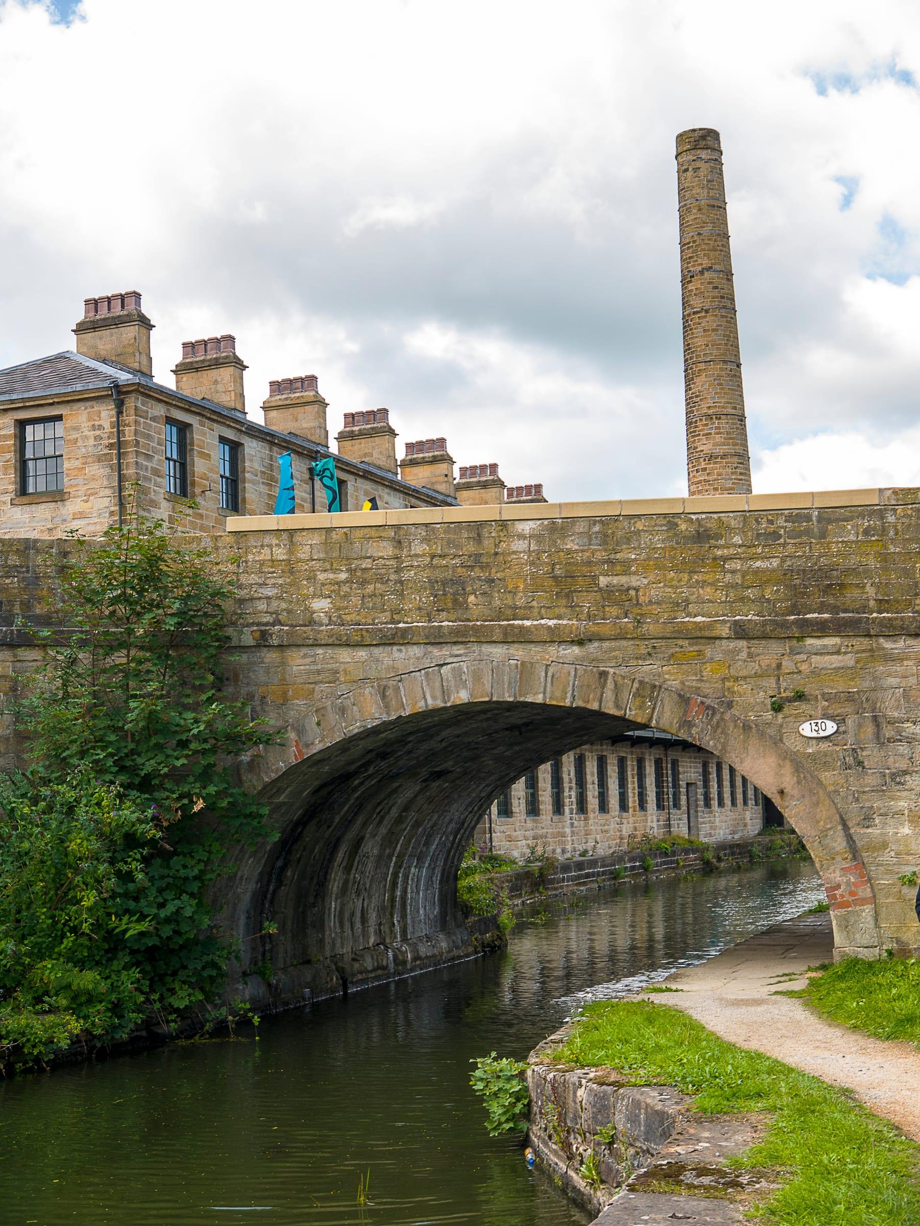
Weavers' Triangle, Burnley
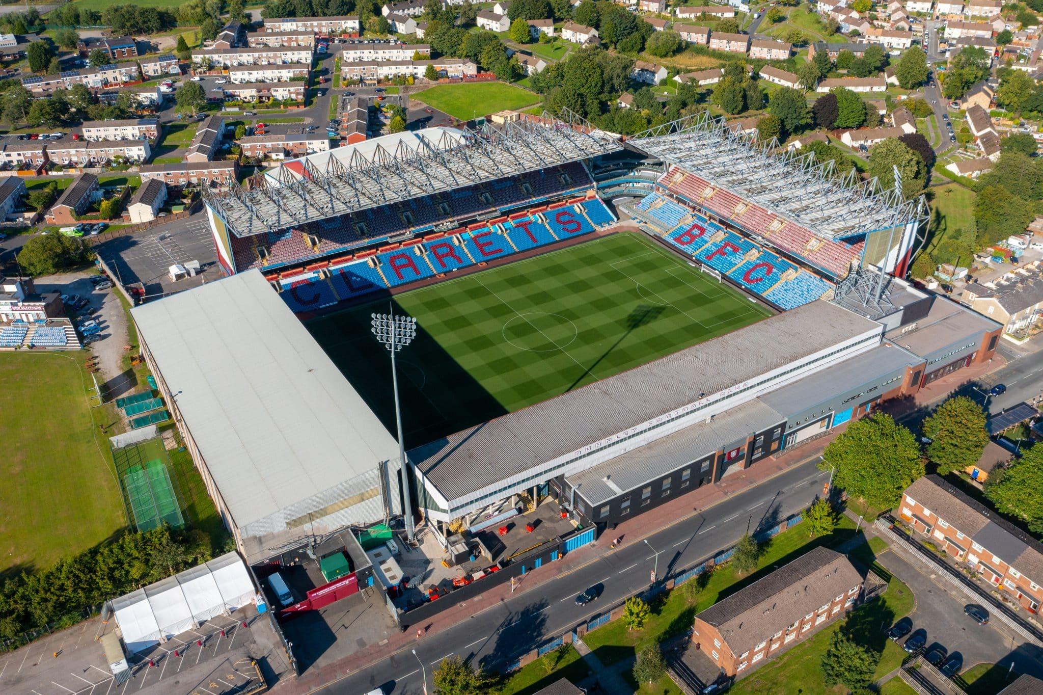
Turf Moor
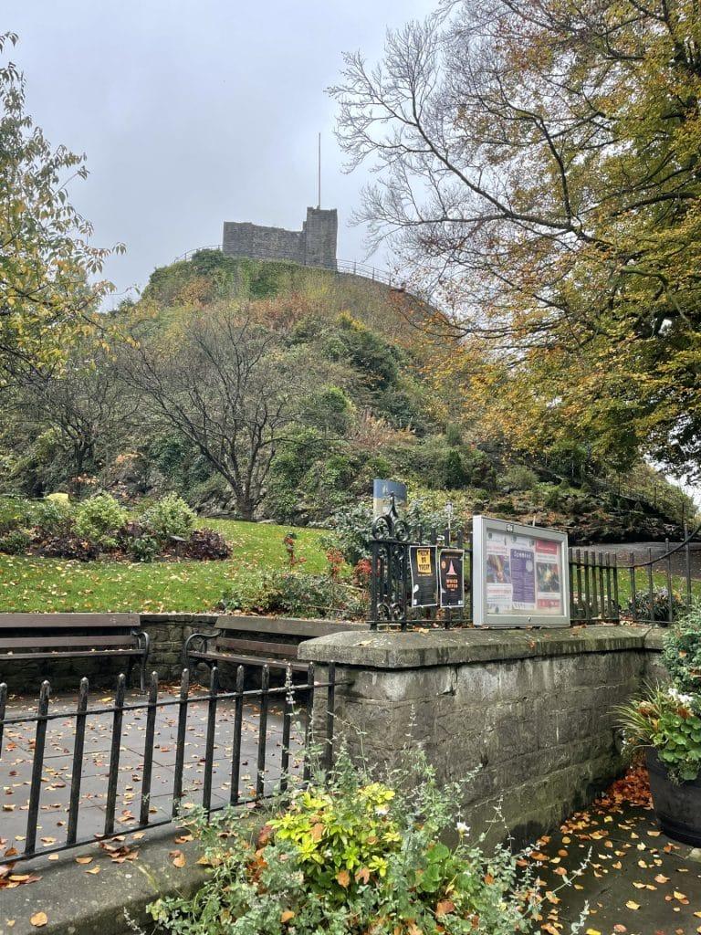
Castle Grounds, Clitheroe
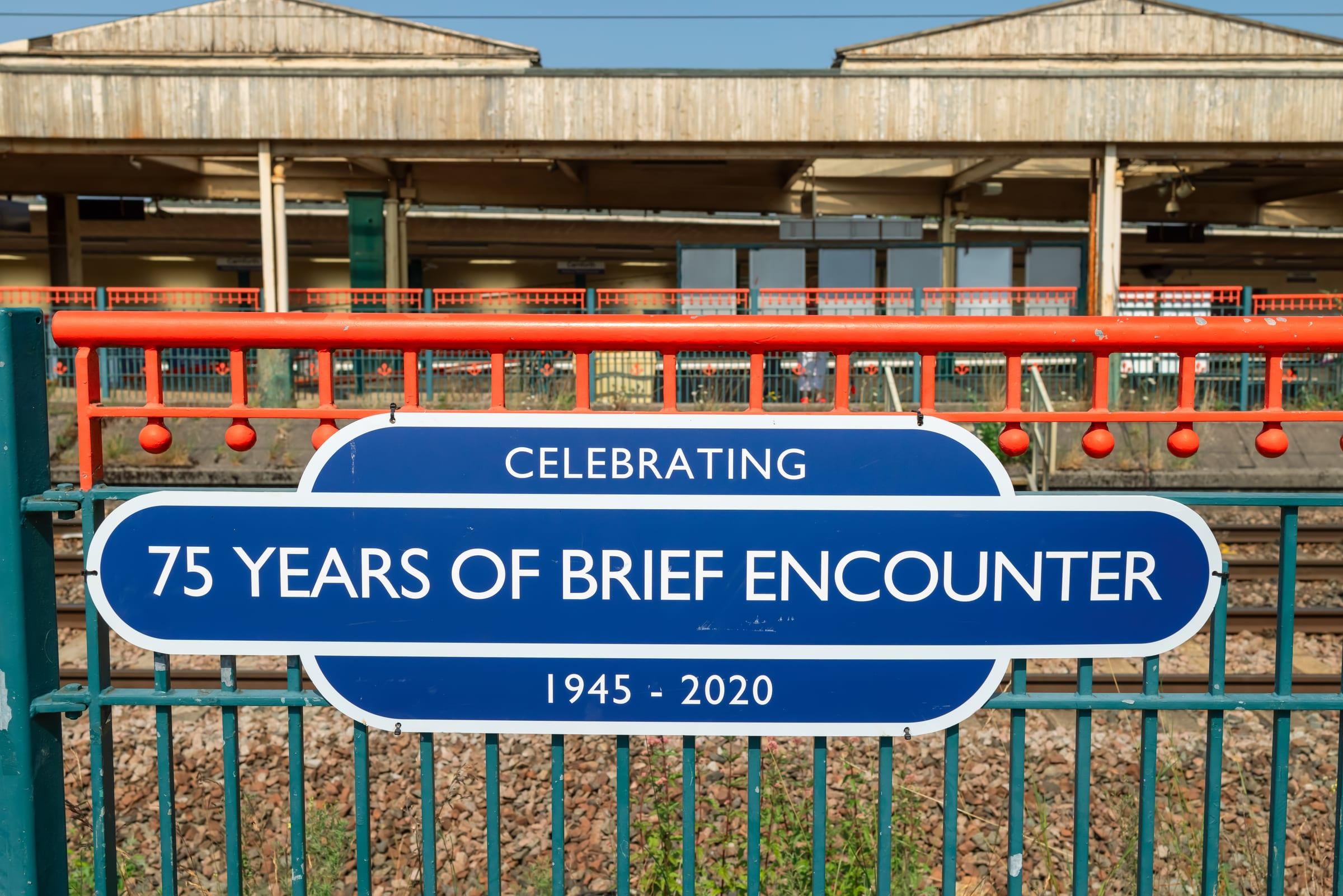
Steamtown Carnforth
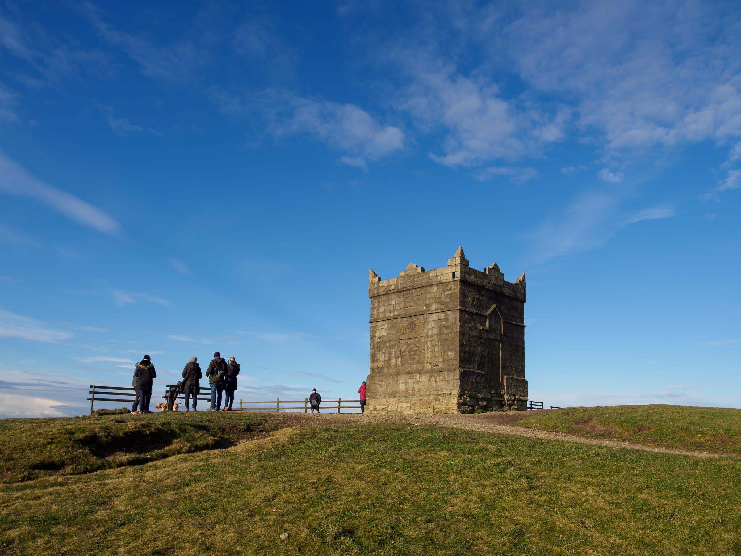
Winter Hill, Belmont
Turf Moor, Burnley
Home of Burnley Football Club since 1883.
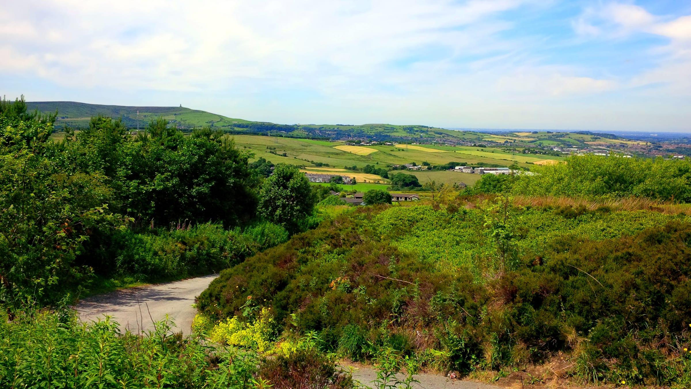
West Pennine Moors
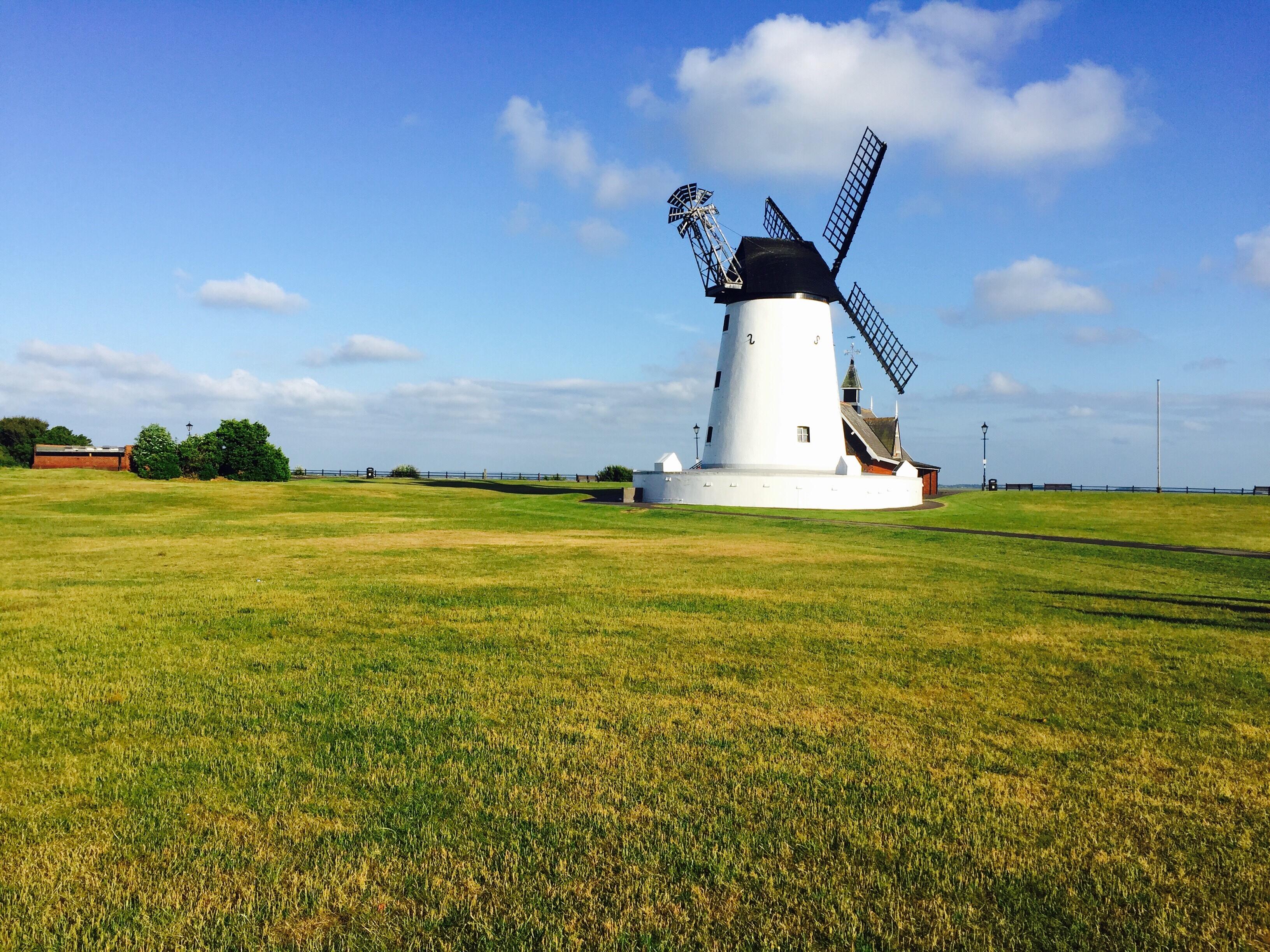
Lytham Green
A historic open green space in the centre of Lytham, traditionally used for recreation, events and leisure.