
River Medway, Medway
MedwayFun for all agesHistory & HeritageNature & Wildlife
About this attraction
About River Medway, Medway
The River Medway is the defining geographic and historical feature of Medway, flowing northward through Chatham and surrounding towns before widening into a major estuary where it meets the Thames. For nearly four centuries, the river powered the region's most important industry: naval shipbuilding and maintenance. Chatham Historic Dockyard, the largest and most significant of the Royal Dockyards, developed along the Medway's banks specifically because the river provided sheltered deep water, tidal access for large vessels, and protection from coastal raiders. The river remains a navigable waterway, and contemporary dockside developments reflect its continuing importance for transport and leisure.
Visitors travelling to attractions around Medway waterfront gain constant engagement with the river itself. The Medway Estuary, where the river meets saltmarsh and mudflats, is an internationally recognised wetland habitat and Ramsar site of immense ecological value. Dockside paths and public spaces offer viewpoints across the water, contextualising the industrial heritage and contemporary character of the area. The river and its quaysides are integral to understanding Medway's past prosperity and present identity.
For those arriving by public transport, the river environment is encountered throughout any exploration of historic Chatham and its attractions. Walking routes along the waterfront, from dockside museums to nature reserves at St Mary's Island, reveal how a single river system shaped an entire region's history, economy, and natural landscape across centuries.
Location
Find River Medway, Medway on the map
Getting here
Scenic routes that pass nearby
Hop on any of these for a scenic ride to River Medway, Medway.
- BUSNearest stopFort Amherst Council Offices · 34 min walk
- BUSNearest stopWaterfront Bus Station · 36 min walk
- BUSDurationAbout 1 hour each wayFrequencySee Arriva website for current timetableNearest stopCanal Road · 4 min walk
- BUSNearest stopEast Row · 20 min walk
- BUSNearest stopCanal Road · 4 min walk
- BUSNearest stopCanal Road · 4 min walk
- BUSNearest stopFurrell's Road · 23 min walk
- BUSNearest stopFurrell's Road · 23 min walk
- BUSNearest stopEast Row · 20 min walk
- BUSNearest stopWaterfront Bus Station · 36 min walk
- BUSNearest stopWaterfront Bus Station · 36 min walk
- BUSNearest stopStrood, opp Railway Station · 3 min walk
- BUSNearest stopCanal Road · 4 min walk
- BUSNearest stopWaterfront Bus Station · 36 min walk
- BUSNearest stopWaterfront Bus Station · 125 min walk
- BUSNearest stopCanal Road · 4 min walk
- BUSNearest stopCanal Road · 4 min walk
More to see in Medway
Other attractions nearby
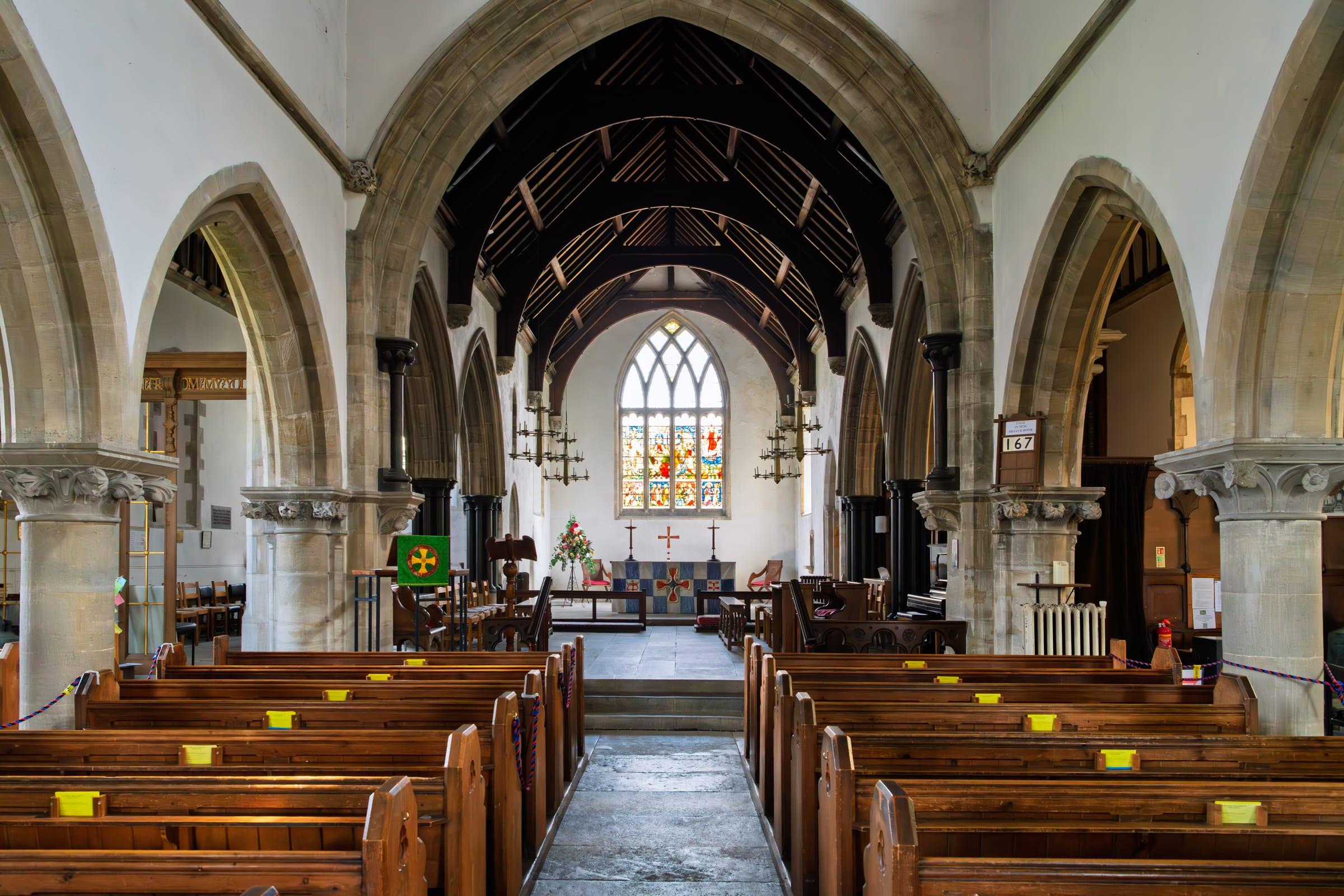
All Saints Church, Perry Street
Medieval parish church on the northern edge of the Medway area.

Cygnet Leisure Centre
Community leisure facility offering swimming, sports courts, and fitness activities.
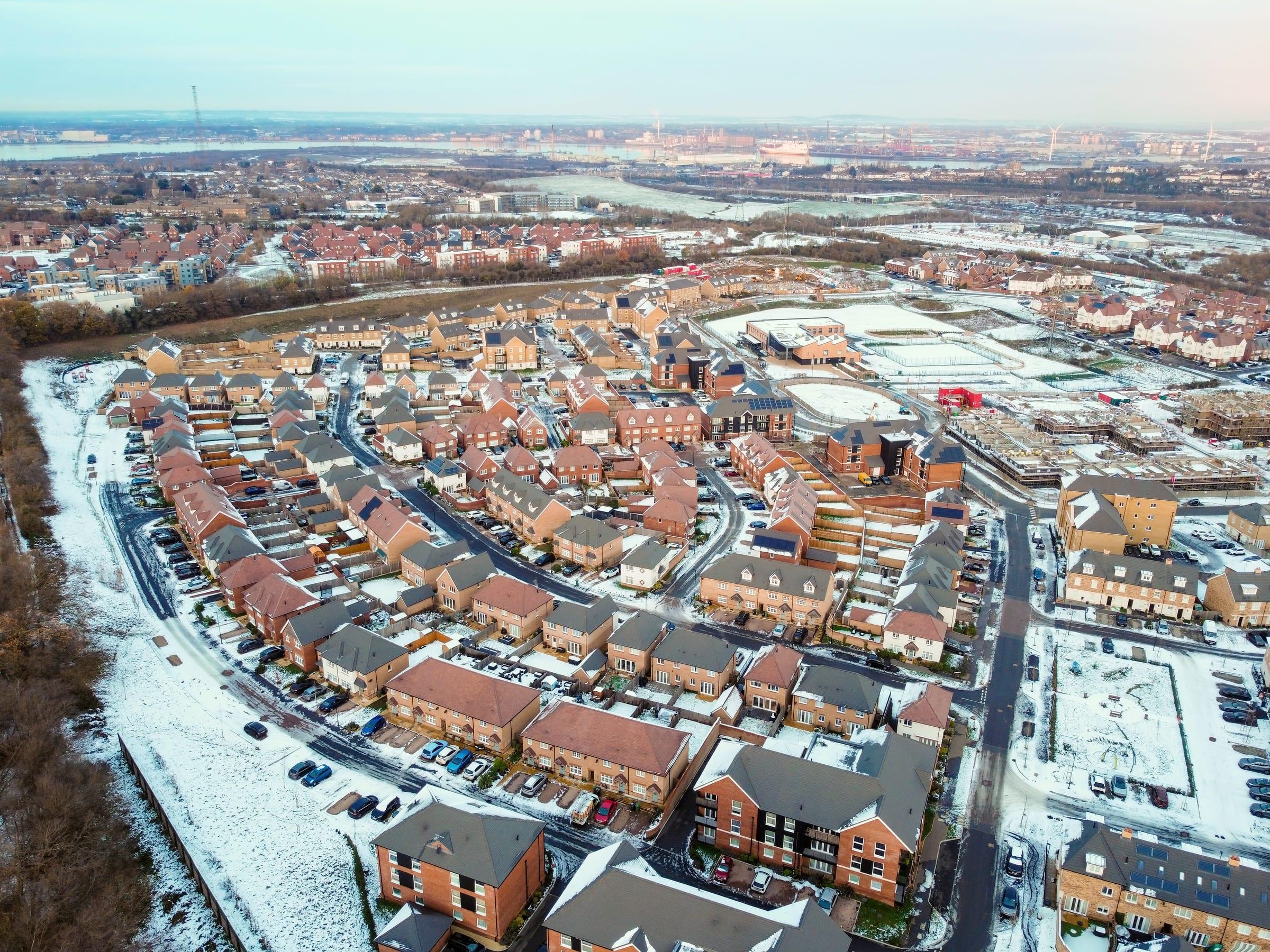
Northfleet
Industrial riverside town in the Medway with heritage connections to cement production and the Thames.
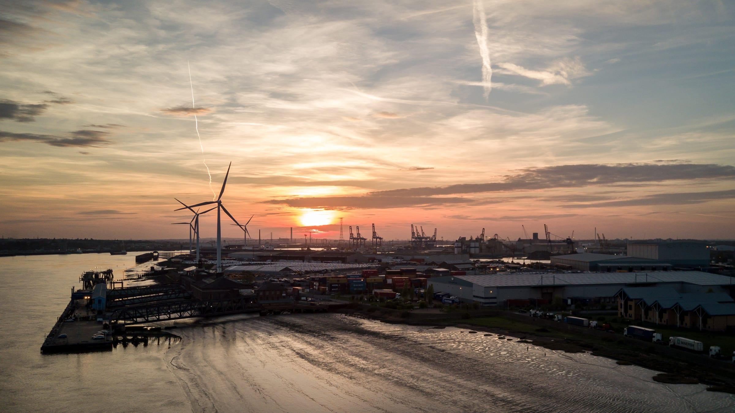
Tilbury Ferry
River service crossing the Thames between Gravesend and Tilbury, Essex.

Gravesend Borough Market
Traditional market in Gravesend town centre selling fresh produce, flowers, and local goods.
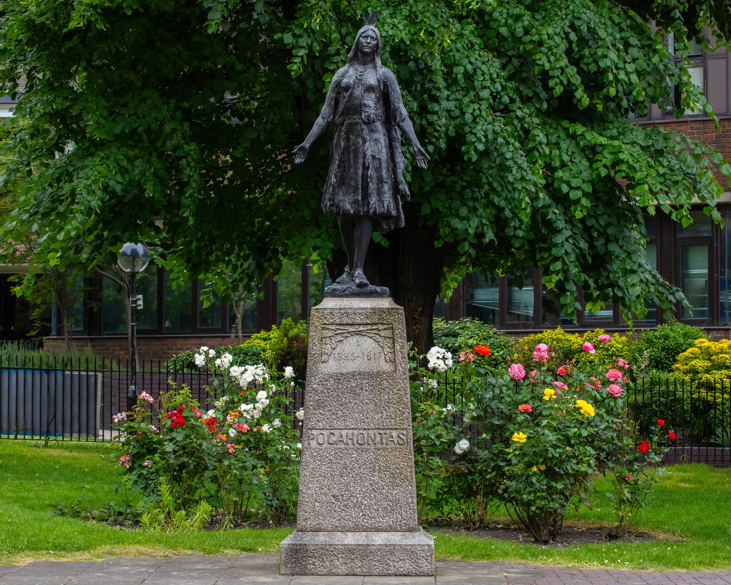
St George's Church and Pocahontas Statue
Medieval church where Pocahontas married John Rolfe in 1614.
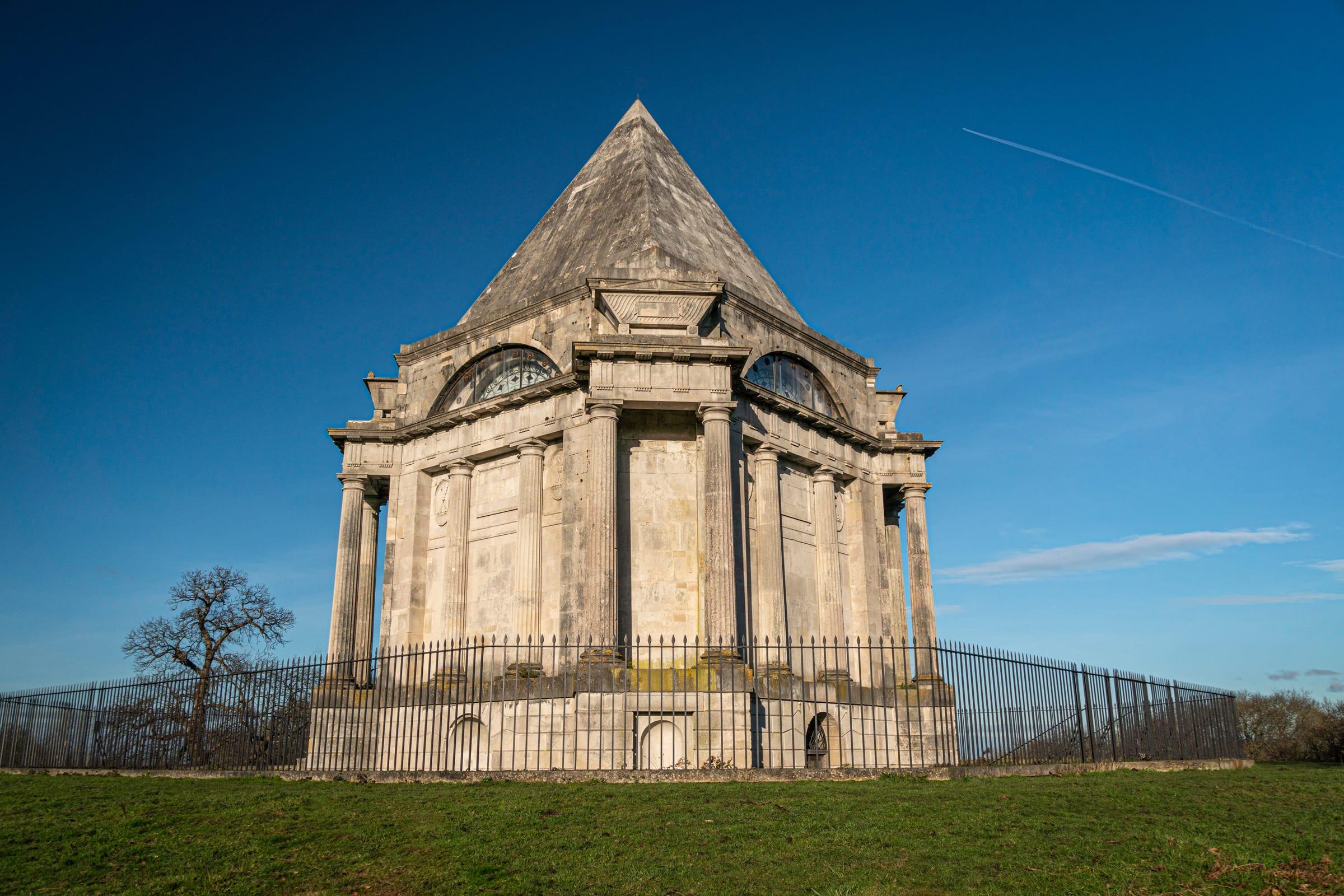
Cobham Park and Darnley Mausoleum
Historic country estate with 16th-century mansion, grounds, and Renaissance mausoleum.
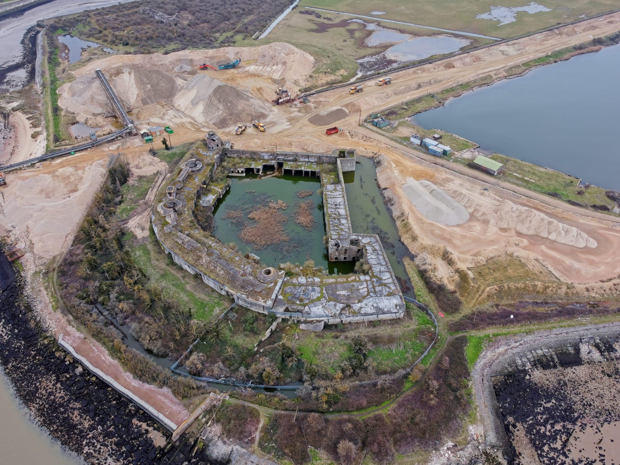
Cliffe Village
Rural riverside village in the Medway, with St Helen's Church and salt marshes.