Peak District National Park
DerbyshireCountrysideLakes and LochsNature & Wildlife
Key info
 Category
Countryside
Derbyshire
About this attraction
About Peak District National Park
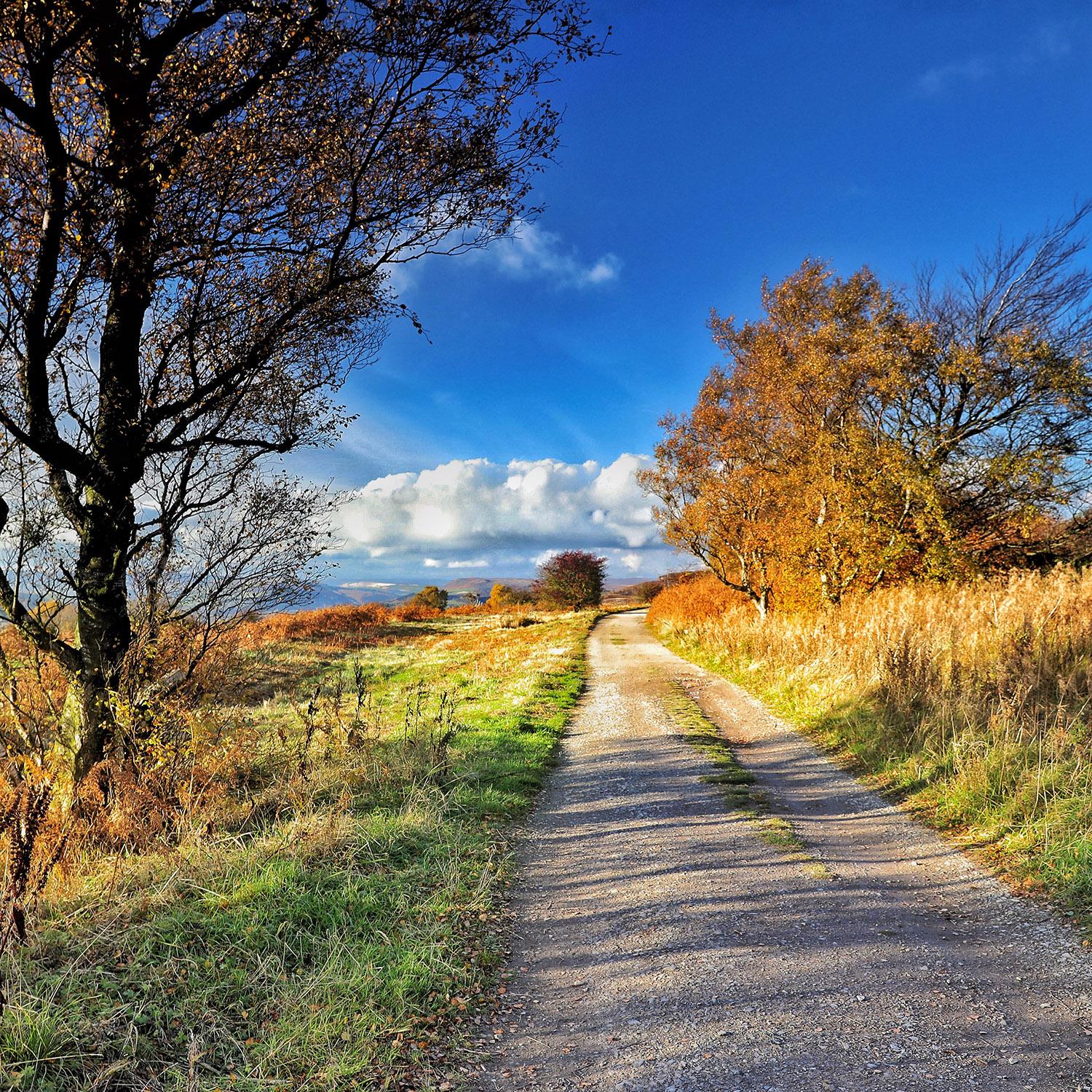
Designated in 1951 as the first national park in the United Kingdom, the Peak District covers around 555 square miles across Derbyshire and parts of Staffordshire, Yorkshire, Cheshire and Greater Manchester. The landscape divides broadly into two: the wild, peaty moorland of the Dark Peak in the north, crowned by Kinder Scout and Bleaklow, and the gentler limestone country of the White Peak to the south, with its dry-stone walls, sheep pastures and steep-sided dales.
Walking is the headline activity, with thousands of miles of public footpaths including the start of the Pennine Way at Edale. Popular days out include the gritstone edges above Hathersage, the show caverns and clifftop ruins around Castleton, and the wooded dales of Dovedale and Lathkill. Mam Tor, Stanage Edge and Chatsworth House all sit within the park boundary.
The park is unusually well served by public transport for an upland area. The Hope Valley railway line runs through its centre with stations at Edale, Hope, Bamford and Hathersage, while the Buxton and Glossop lines reach the western edges. A network of local buses links most of the main villages and trailheads.
Location
Find Peak District National Park on the map
Getting here
Scenic route that passes nearby
Hop on any of these for a scenic ride to Peak District National Park.
More to see in Derbyshire
Other attractions nearby
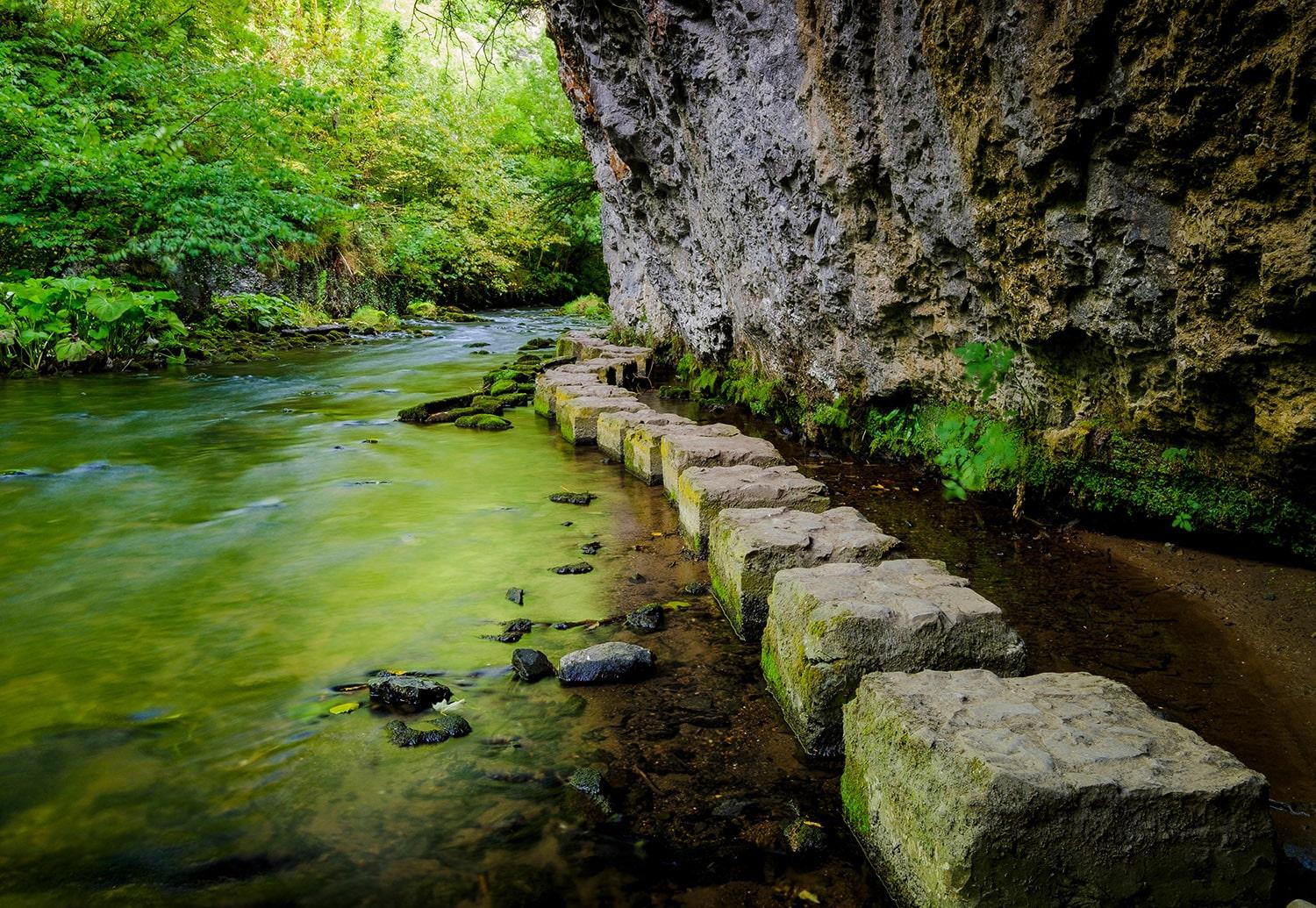
Chee Dale
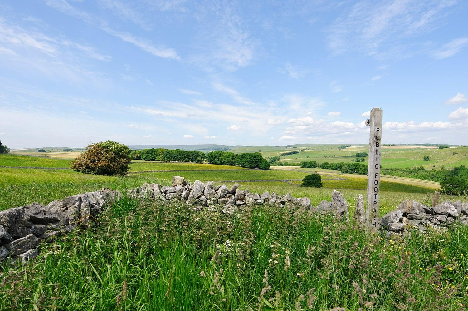
Tideswell
Peak District village famed for its 14th-century parish church, the Cathedral of the Peak.
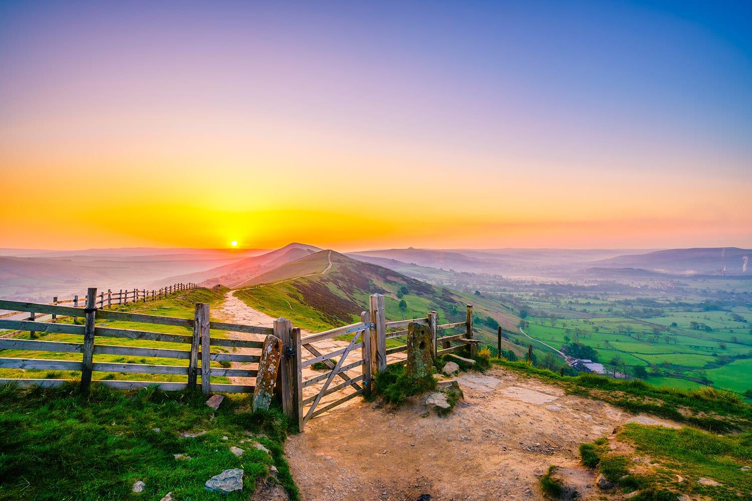
Great Hucklow
Quiet Peak District hamlet known for gliding, lead mining heritage and limestone walks.
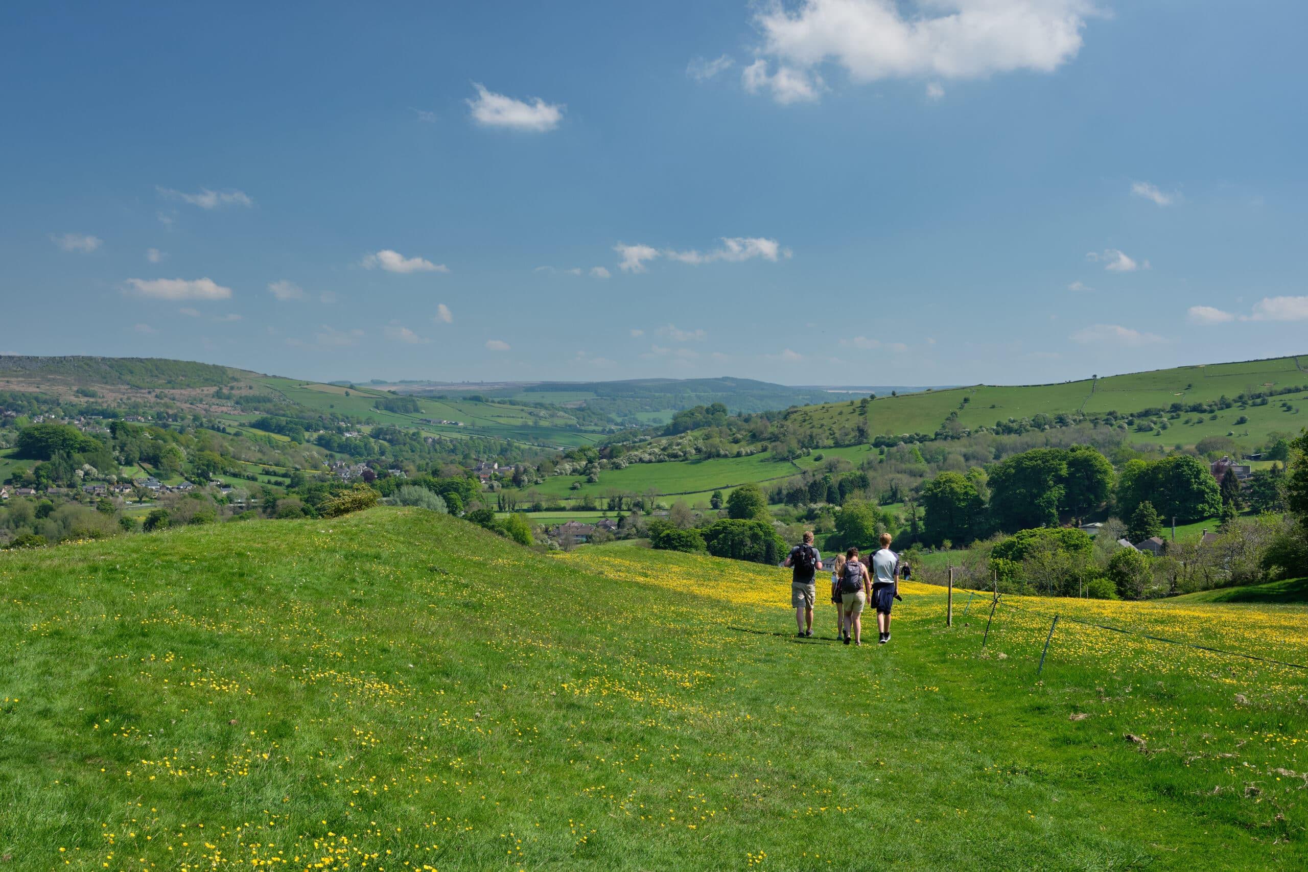
Stoney Middleton
Limestone village in a steep Peak District dale, famous for its octagonal church.

Sheffield city centre
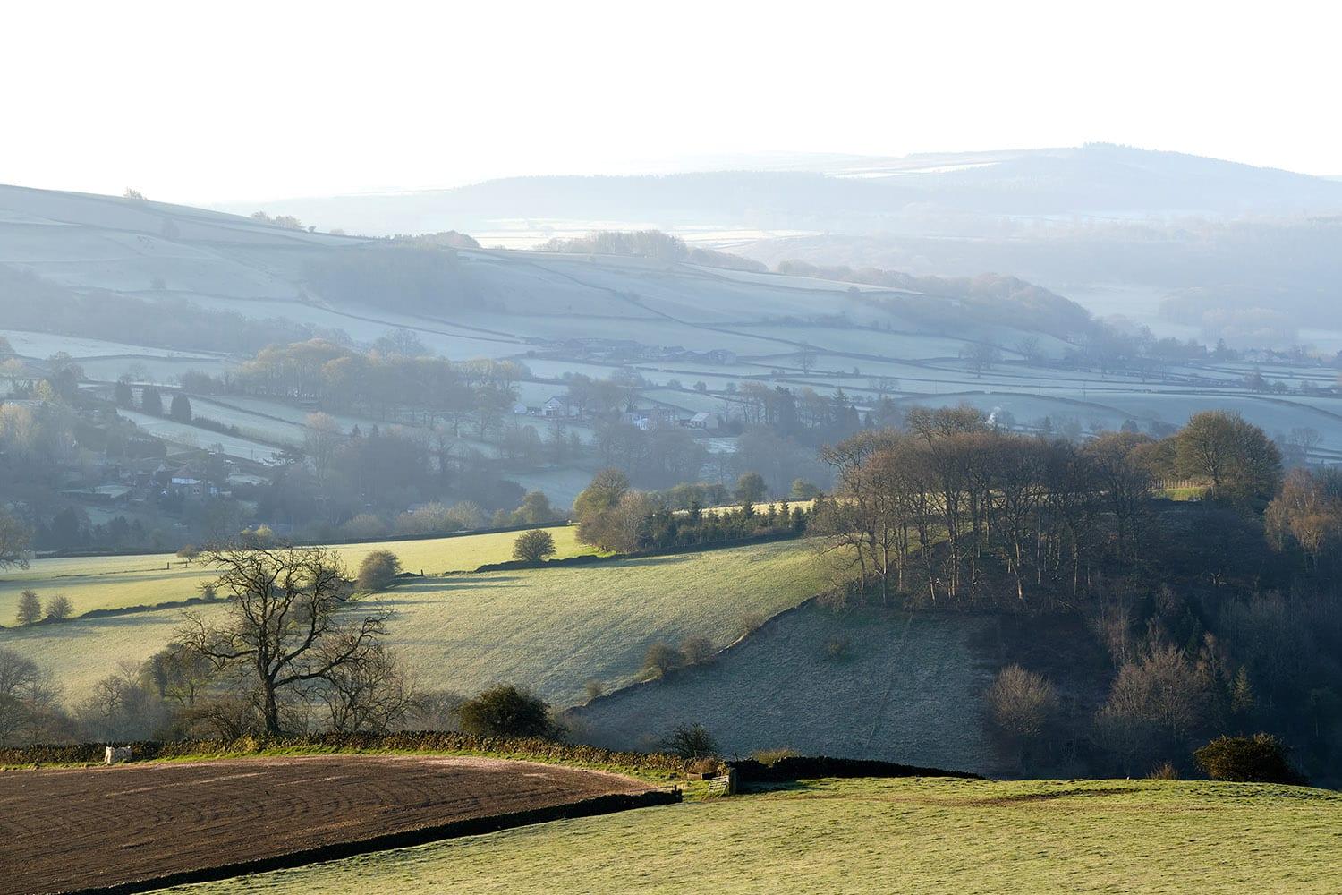
Calver Sough
Peak District crossroads hamlet with historic lead-mining roots
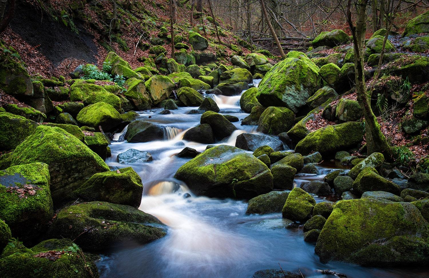
Padley Gorge
Ancient oak woodland and tumbling waterfalls in the Peak District.