
Calver Sough
DerbyshireCountrysideHistory & Heritage
Key info
 Category
Countryside
Derbyshire
About this attraction
About Calver Sough
Calver Sough is a small hamlet and busy crossroads at the northern end of Calver village in the Derbyshire Peak District, where the A623 meets the B6001. The name 'sough' refers to a drainage tunnel cut to take water out of the surrounding lead mines, and the area's identity is rooted in the centuries of lead extraction that shaped much of the White Peak landscape. The Calver Sough drainage level was driven in the 18th century to dewater workings in the rakes running through Calver, Hassop and Longstone Edge.
Today the junction is best known to walkers and cyclists as a useful stopping point between Bakewell, Baslow and the Hope Valley. There is a long-established farm shop, a pub and a garage clustered around the crossroads, making it a popular refuelling stop for those exploring Curbar Edge, Froggatt Edge and the wider Dark Peak gritstone escarpments to the east. Buses on the Sheffield to Bakewell route call here, making it a practical access point for car-free visitors.
From Calver Sough, footpaths drop down to the River Derwent and the handsome stone village of Calver itself, where the imposing Calver Mill, a former cotton mill made famous as the exterior of Colditz Castle in the 1970s BBC television series, still stands beside the river.
Location
Find Calver Sough on the map
Getting here
Scenic route that passes nearby
Hop on any of these for a scenic ride to Calver Sough.
More to see in Derbyshire
Other attractions nearby
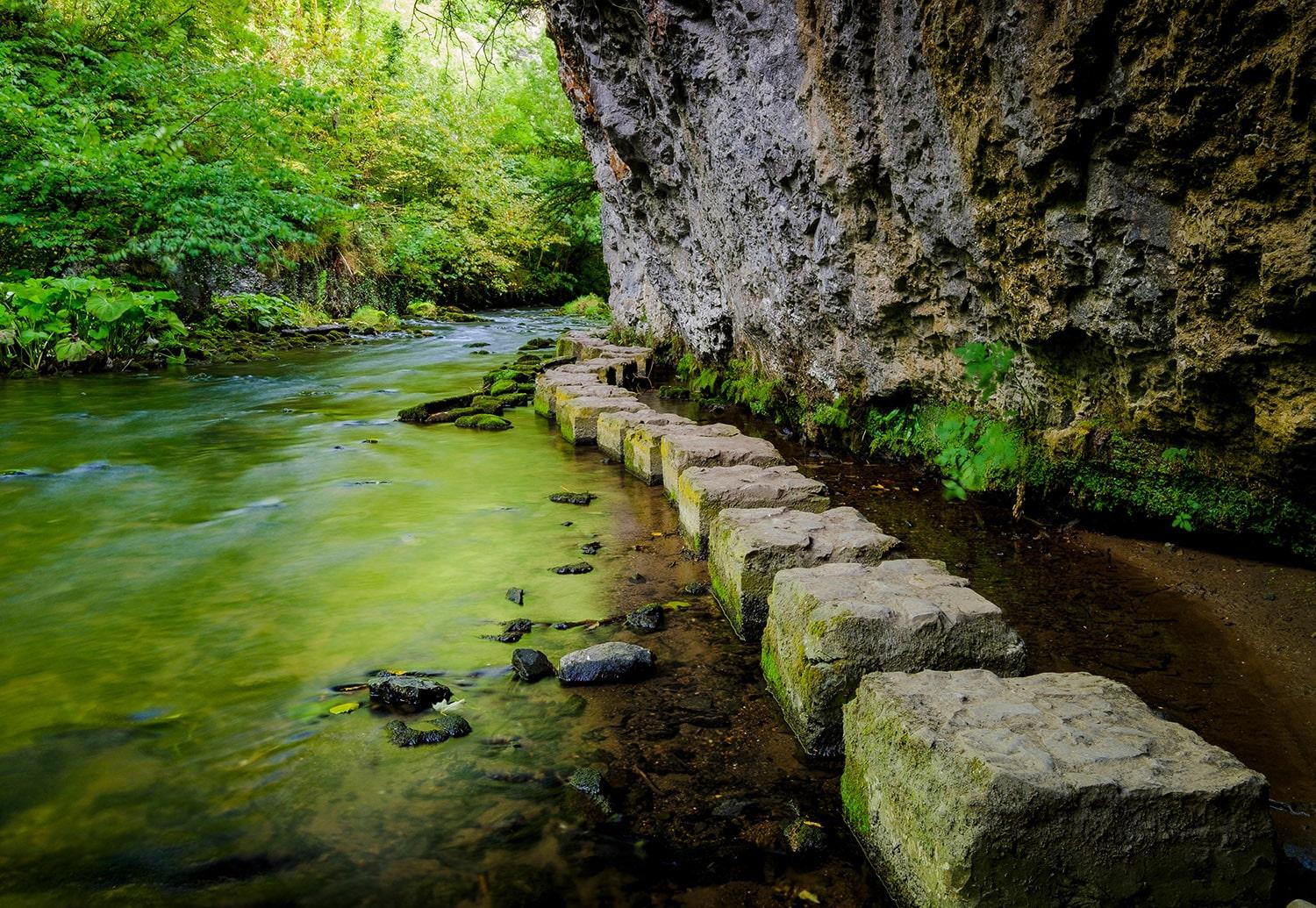
Chee Dale
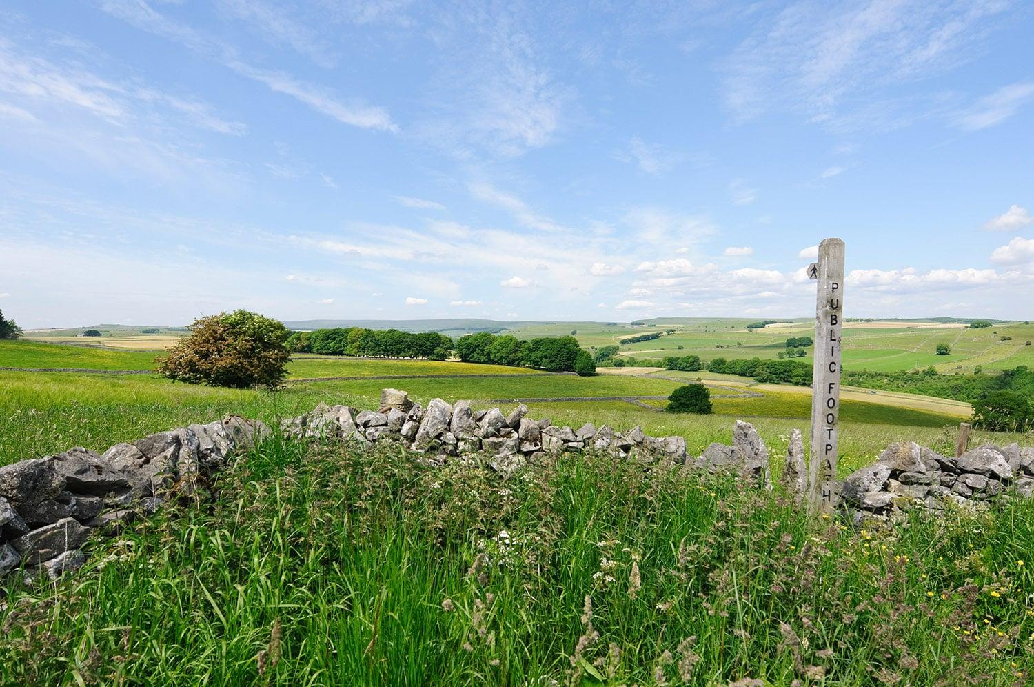
Tideswell
Peak District village famed for its 14th-century parish church, the Cathedral of the Peak.
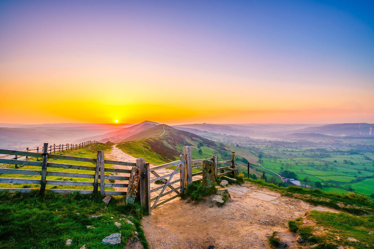
Great Hucklow
Quiet Peak District hamlet known for gliding, lead mining heritage and limestone walks.
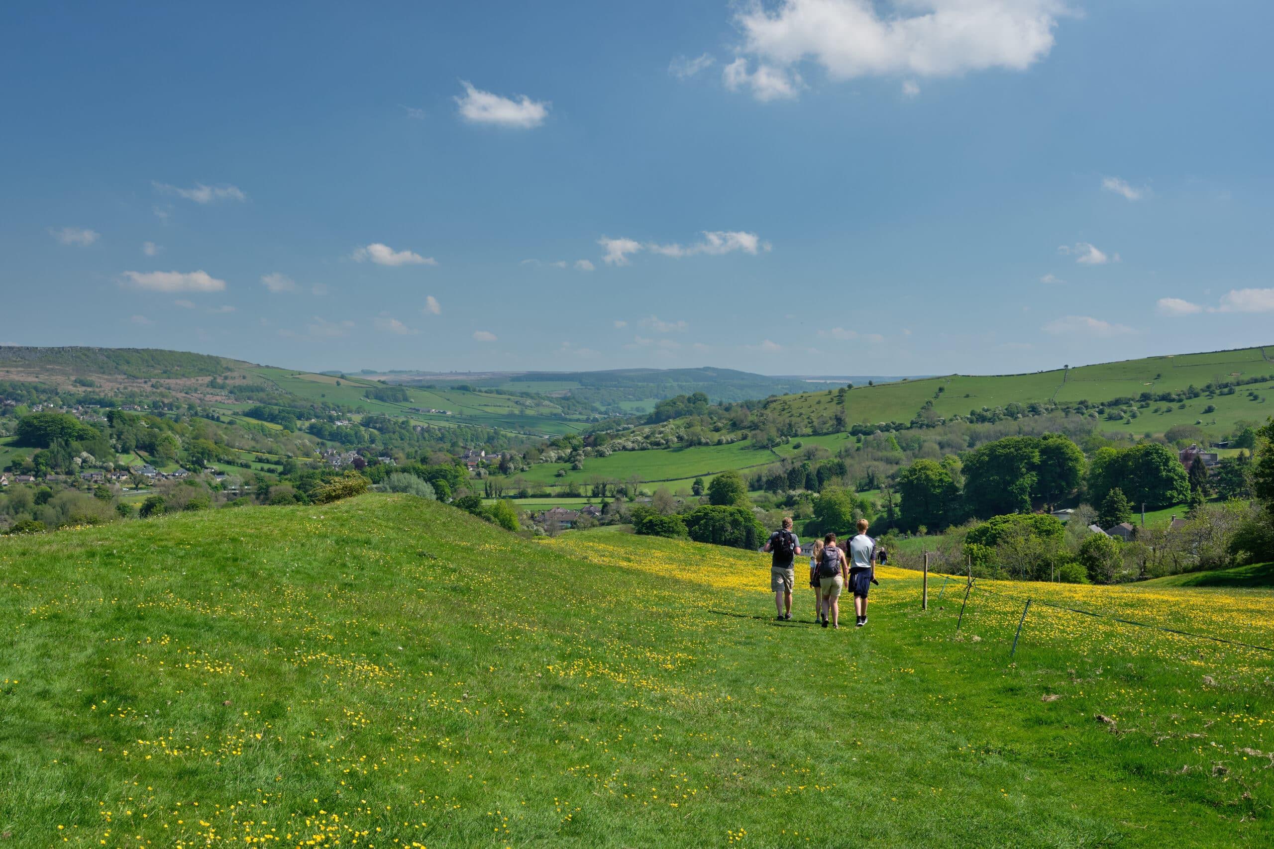
Stoney Middleton
Limestone village in a steep Peak District dale, famous for its octagonal church.
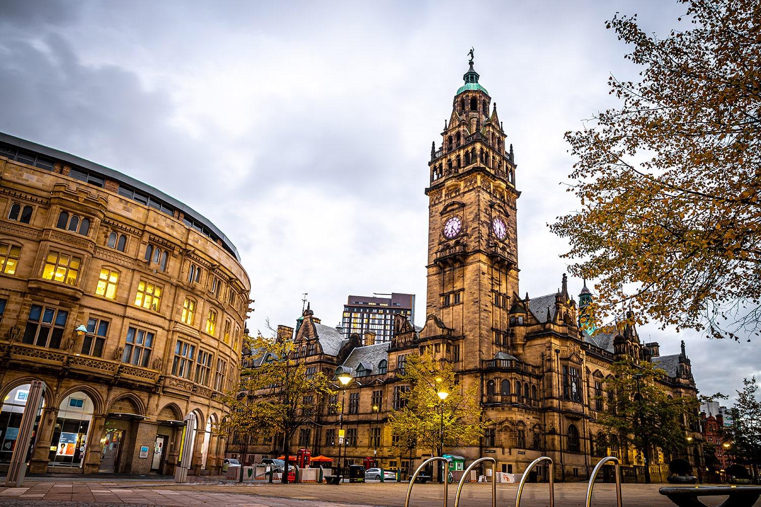
Sheffield city centre
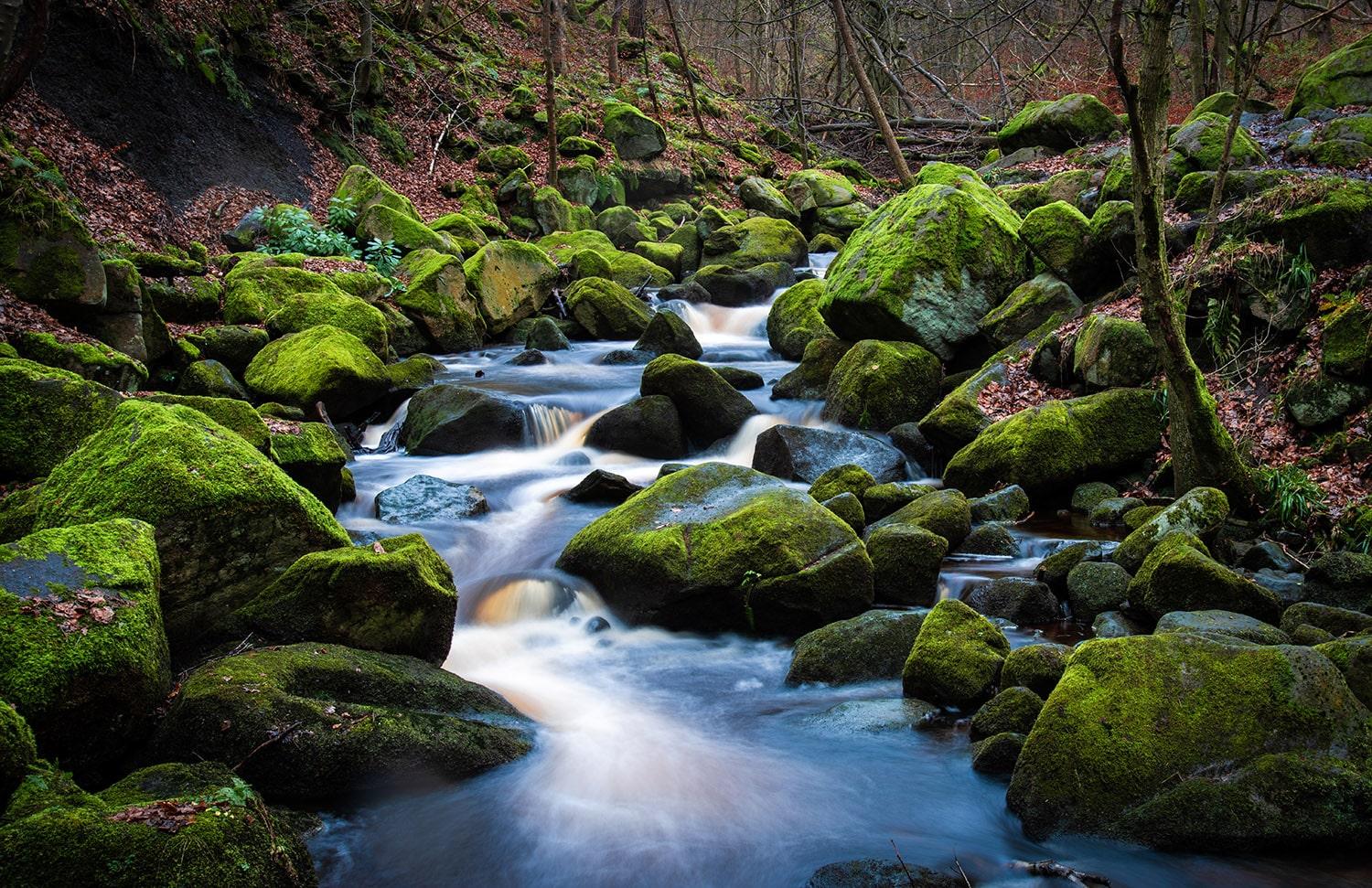
Padley Gorge
Ancient oak woodland and tumbling waterfalls in the Peak District.
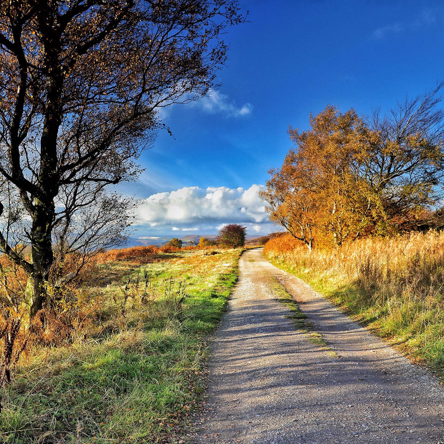
Grindleford
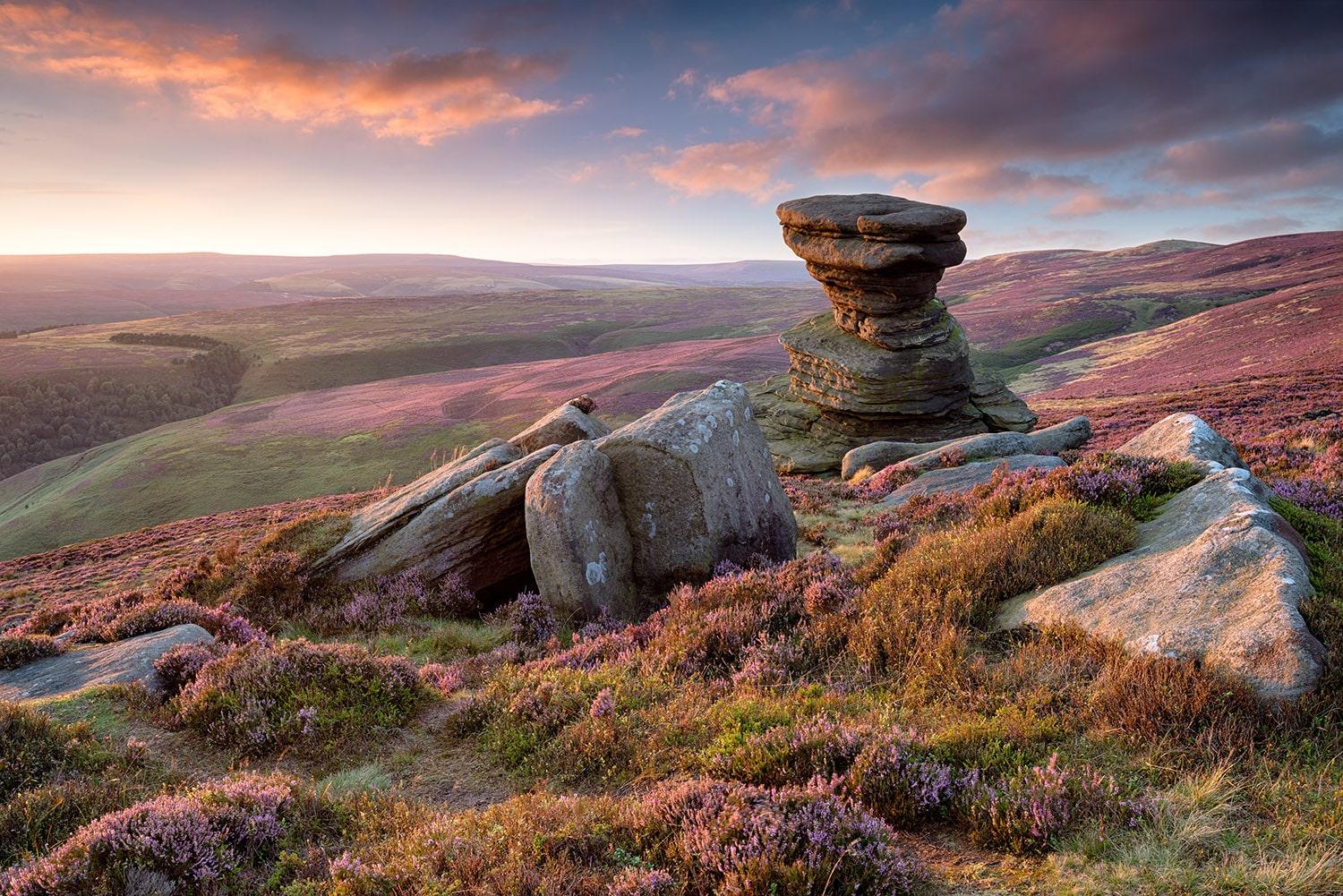
Peak District National Park
Britain's first national park, spanning moors, dales and gritstone edges.