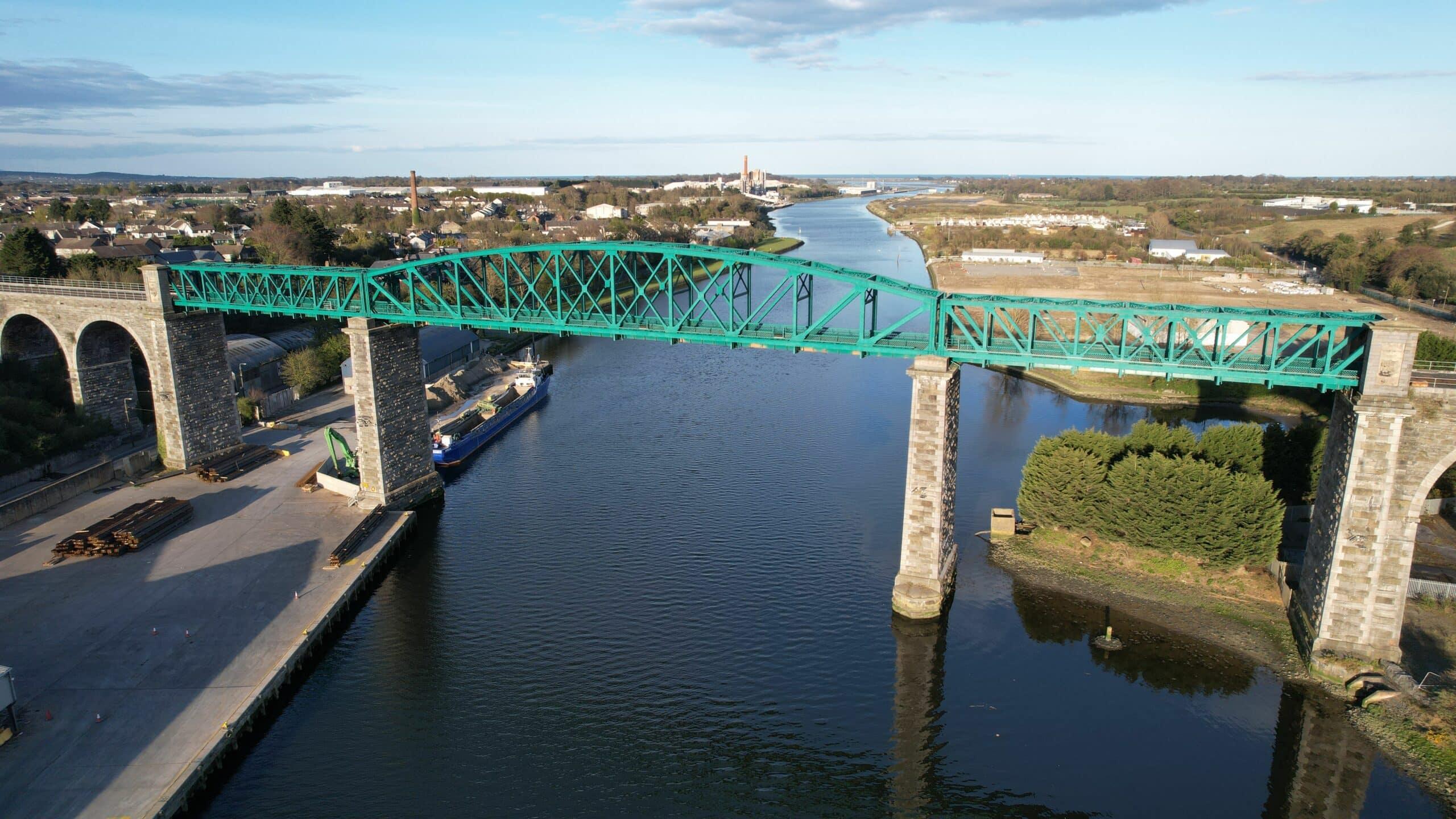
The Slieve Mish Mountains
IrelandCountrysideHistory & HeritageWalking and Hiking
Key info
 Category
Countryside
Ireland
About this attraction
About The Slieve Mish Mountains
The Slieve Mish Mountains form the rugged spine that anchors the eastern end of the Dingle Peninsula in County Kerry. Rising sharply from the shores of Tralee Bay and Castlemaine Harbour, the range stretches westward from Tralee toward Camp and is dominated by the twin summits of Baurtregaum and Caherconree, the latter capped by the remains of a dramatic Iron Age promontory fort.
The mountains are steeped in Irish legend. They are named in the Lebor Gabála Érenn as the site of one of the great mythological battles between the Milesians and the Tuatha Dé Danann, and Caherconree is traditionally linked with the warrior king Cú Roí mac Dáire. Walkers reach the stone ramparts of the fort by a well-trodden path from the Bóthar na gCloch road, with sweeping views over the Dingle Peninsula and the Iveragh mountains to the south.
For visitors, the Slieve Mish offer superb hill walking, ridge traverses and quiet glens such as Derrymore and Curraheen, alongside waterfalls and tumbling streams. The N86 road from Tralee to Dingle skirts their northern flank, giving easy access by bus to some of the finest mountain landscapes in the south west of Ireland.
Location
Find The Slieve Mish Mountains on the map
Getting here
Scenic route that passes nearby
Hop on any of these for a scenic ride to The Slieve Mish Mountains.
More to see in Ireland
Other attractions nearby
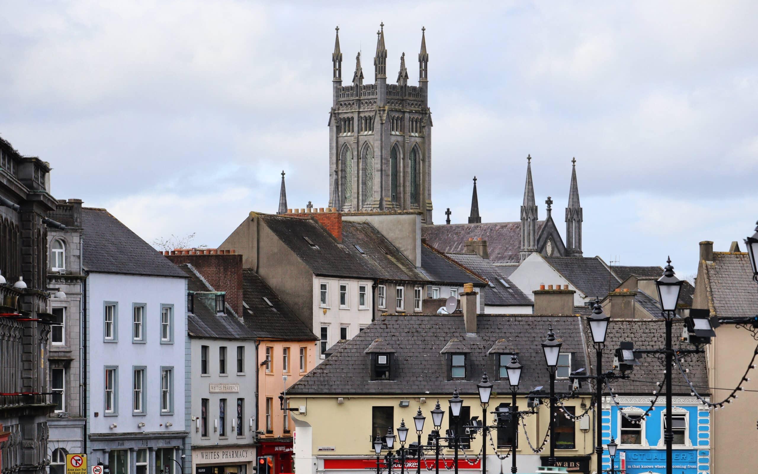
The charming town of Killarney
Lively Kerry town and gateway to the lakes, mountains and Killarney National Park.
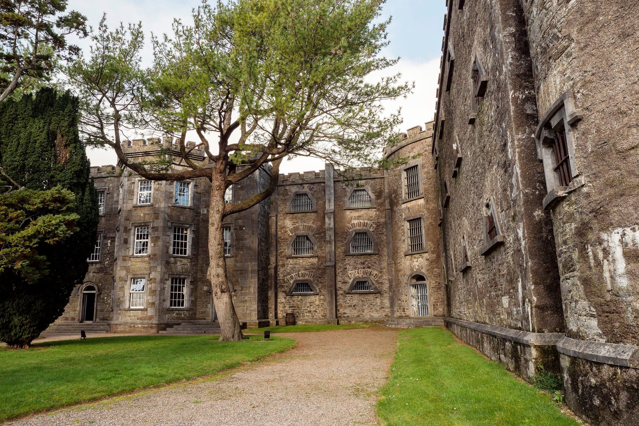
Cork City Gaol
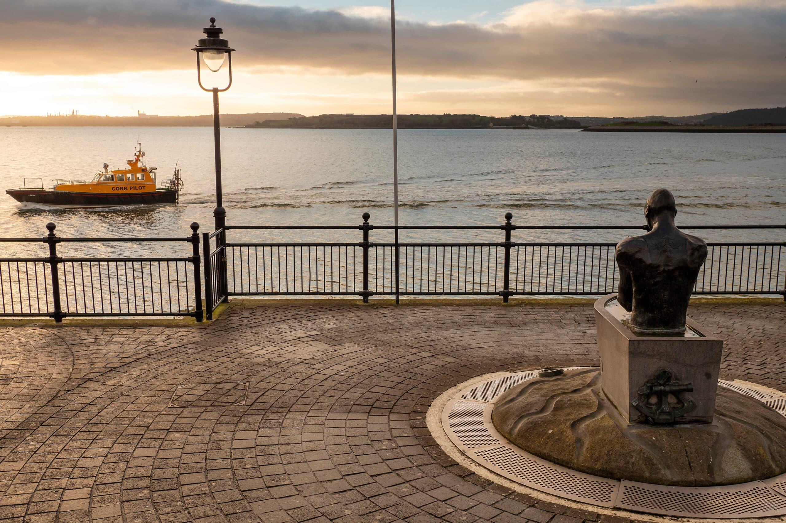
John F. Kennedy Memorial Park
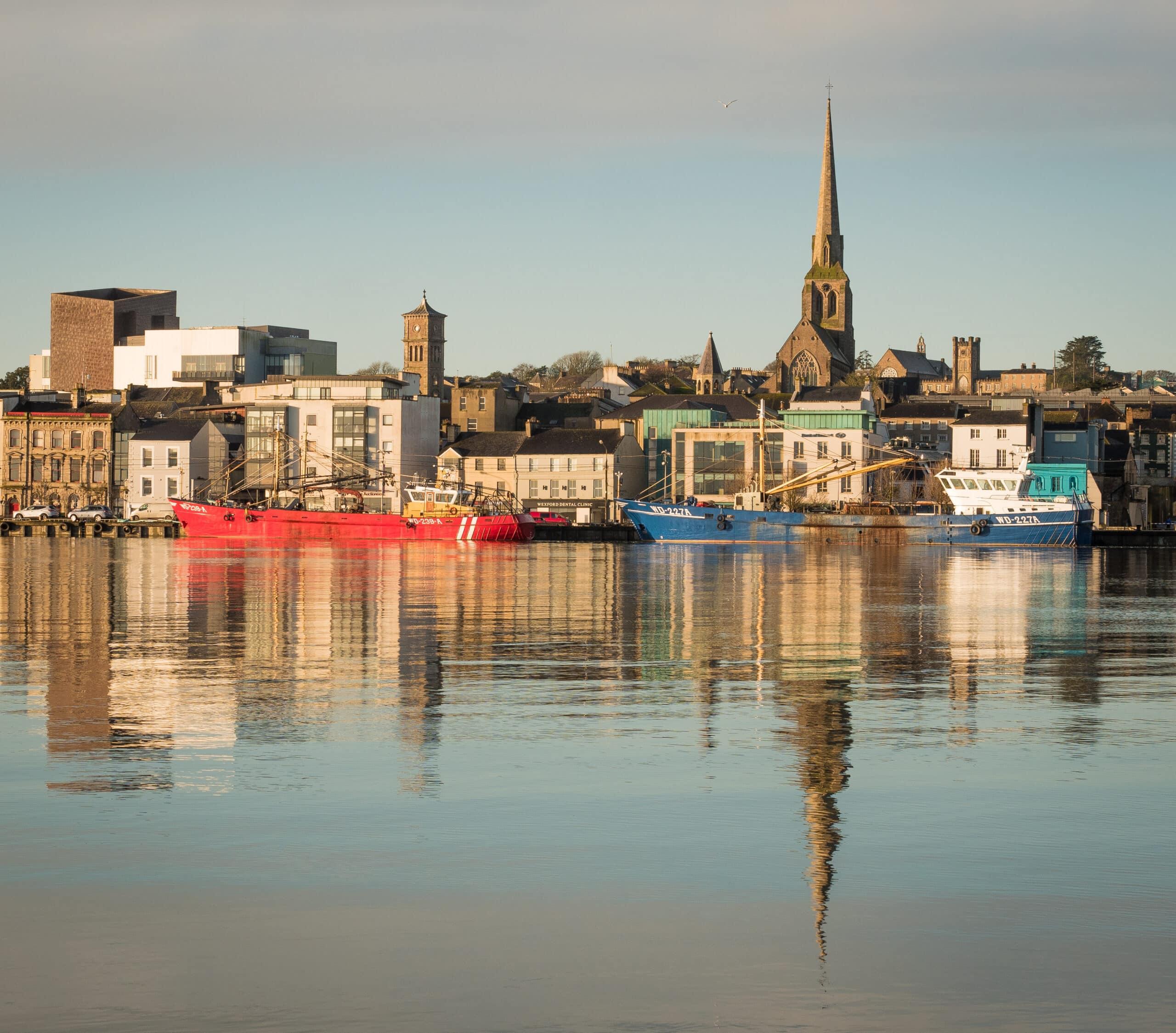
The medieval town of Wexford
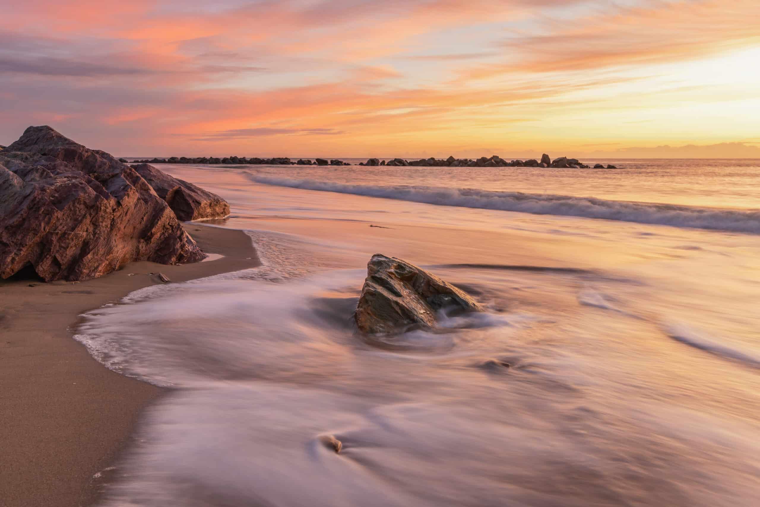
Rosslare Strand
Long Blue Flag beach on the south-east Wexford coast.
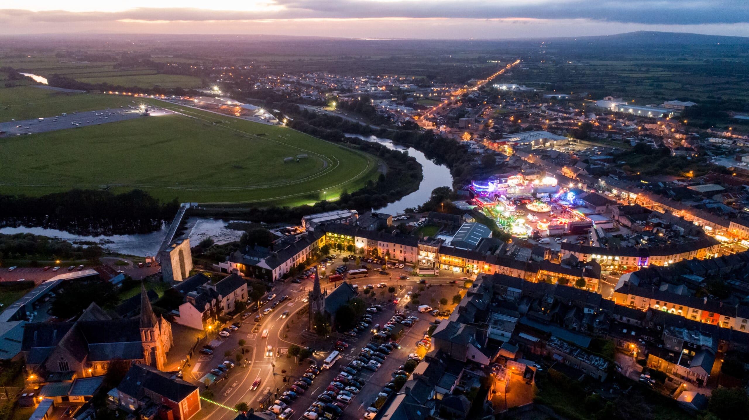
Listowel
Literary market town on the River Feale, famous for its writers and racecourse.
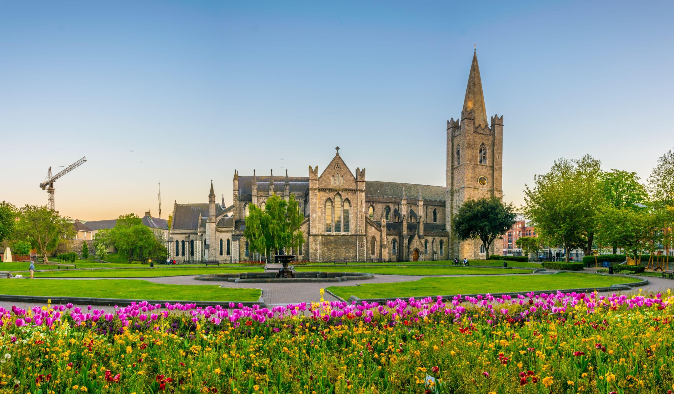
St. Patrick's Church